Distance to Punta Gorda, Florida

Calculating Your Route
Just a moment while we process your request...
Location Information
-
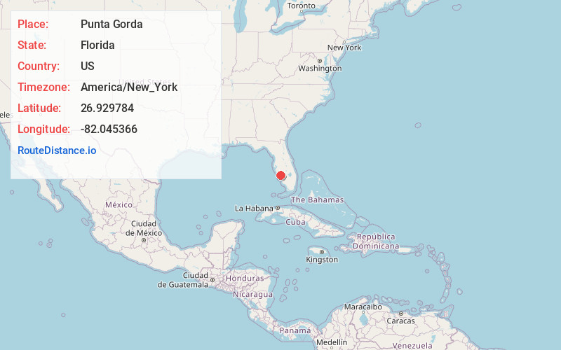
Full AddressPunta Gorda, FL
-
Coordinates26.9297836, -82.0453664
-
LocationPunta Gorda , Florida , US
-
TimezoneAmerica/New_York
-
Current Local Time5:34:43 PM America/New_YorkTuesday, June 17, 2025
-
Website
-
Page Views0
About Punta Gorda
Punta Gorda, a city located in Southwest Florida, is the county seat of Charlotte County, Florida, United States. As of the 2020 U.S. Census, the city had a population of 19,471, up from 16,641 at the 2010 census.


Nearby Places
Found 10 places within 50 miles

Port Charlotte
8.1 mi
13.0 km
Port Charlotte, FL
Get directions

North Port
14.1 mi
22.7 km
North Port, FL
Get directions

Englewood
19.0 mi
30.6 km
Englewood, FL
Get directions

Cape Coral
21.4 mi
34.4 km
Cape Coral, FL
Get directions

Fort Myers
23.0 mi
37.0 km
Fort Myers, FL
Get directions

Venice
27.6 mi
44.4 km
Venice, FL
Get directions

Lehigh Acres
33.4 mi
53.8 km
Lehigh Acres, FL
Get directions

Estero
37.0 mi
59.5 km
Estero, FL
Get directions

Lakewood Ranch
40.8 mi
65.7 km
Lakewood Ranch, FL
Get directions

Sarasota
41.0 mi
66.0 km
Sarasota, FL
Get directions
Location Links
Local Weather
Weather Information
Coming soon!
Location Map
Static map view of Punta Gorda, Florida
Browse Places by Distance
Places within specific distances from Punta Gorda
Short Distances
Long Distances
Click any distance to see all places within that range from Punta Gorda. Distances shown in miles (1 mile ≈ 1.61 kilometers).