Distance to Fort Seneca, Ohio

Calculating Your Route
Just a moment while we process your request...
Location Information
-
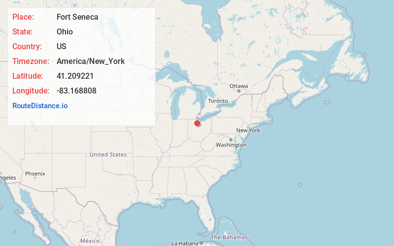
Full AddressFort Seneca, OH 44883
-
Coordinates41.2092206, -83.1688084
-
LocationFort Seneca , Ohio , US
-
TimezoneAmerica/New_York
-
Current Local Time8:00:14 AM America/New_YorkThursday, May 22, 2025
-
Page Views0
About Fort Seneca
Fort Seneca is a census-designated place in Pleasant Township, Seneca County, Ohio, United States. It is located on State Route 53, approximately 6 miles North of Tiffin. The population was 230 at the 2020 census.
Nearby Places
Found 10 places within 50 miles

Old Fort
2.4 mi
3.9 km
Old Fort, OH
Get directions

Bettsville
4.3 mi
6.9 km
Bettsville, OH
Get directions
Burgoon
5.9 mi
9.5 km
Burgoon, OH 43407
Get directions
Kansas
6.5 mi
10.5 km
Kansas, OH 44841
Get directions

Tiffin
6.6 mi
10.6 km
Tiffin, OH 44883
Get directions

Green Springs
6.9 mi
11.1 km
Green Springs, OH 44836
Get directions
Bascom
7.9 mi
12.7 km
Bascom, OH
Get directions
Ballville
8.4 mi
13.5 km
Ballville, OH 43420
Get directions
Stony Prairie
9.4 mi
15.1 km
Stony Prairie, OH 43420
Get directions

Republic
10.0 mi
16.1 km
Republic, OH 44867
Get directions
Location Links
Local Weather
Weather Information
Coming soon!
Location Map
Static map view of Fort Seneca, Ohio
Browse Places by Distance
Places within specific distances from Fort Seneca
Short Distances
Long Distances
Click any distance to see all places within that range from Fort Seneca. Distances shown in miles (1 mile ≈ 1.61 kilometers).