Distance to Kansas, Ohio

Calculating Your Route
Just a moment while we process your request...
Location Information
-
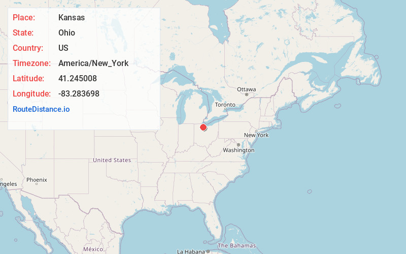
Full AddressKansas, OH 44841
-
Coordinates41.2450075, -83.2836979
-
LocationKansas , Ohio , US
-
TimezoneAmerica/New_York
-
Current Local Time7:23:02 AM America/New_YorkSaturday, May 31, 2025
-
Page Views0
About Kansas
Kansas is a census-designated place in northwestern Liberty Township, Seneca County, Ohio, United States. It has a post office with the ZIP code 44841. It is located along State Route 635. The population was 175 at the 2020 census.
Nearby Places
Found 10 places within 50 miles

Burgoon
2.3 mi
3.7 km
Burgoon, OH 43407
Get directions
Bettsville
2.5 mi
4.0 km
Bettsville, OH
Get directions
Helena
6.7 mi
10.8 km
Helena, OH 43435
Get directions
Risingsun
7.5 mi
12.1 km
Risingsun, OH 43457
Get directions
Bascom
7.8 mi
12.6 km
Bascom, OH
Get directions

Fostoria
9.2 mi
14.8 km
Fostoria, OH 44830
Get directions
Bradner
9.7 mi
15.6 km
Bradner, OH
Get directions
Ballville
9.7 mi
15.6 km
Ballville, OH 43420
Get directions
Stony Prairie
9.7 mi
15.6 km
Stony Prairie, OH 43420
Get directions

Gibsonburg
9.8 mi
15.8 km
Gibsonburg, OH 43431
Get directions
Location Links
Local Weather
Weather Information
Coming soon!
Location Map
Static map view of Kansas, Ohio
Browse Places by Distance
Places within specific distances from Kansas
Short Distances
Long Distances
Click any distance to see all places within that range from Kansas. Distances shown in miles (1 mile ≈ 1.61 kilometers).