Distance to Fort Wingate, New Mexico

Calculating Your Route
Just a moment while we process your request...
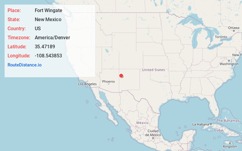
Location Information
-
Full AddressFort Wingate, NM 87316
-
Coordinates35.4718903, -108.5438525
-
LocationFort Wingate , New Mexico , US
-
TimezoneAmerica/Denver
-
Current Local Time9:10:06 PM America/DenverWednesday, July 2, 2025
-
Page Views0
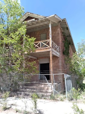
About Fort Wingate
Fort Wingate was a military installation near Gallup, New Mexico, United States. There were two other locations in New Mexico called Fort Wingate: Seboyeta and San Rafael.


Nearby Places
Found 10 places within 50 miles

Church Rock
5.3 mi
8.5 km
Church Rock, NM
Get directions

Sundance
5.4 mi
8.7 km
Sundance, NM 87301
Get directions

Pinedale
10.6 mi
17.1 km
Pinedale, NM 87311
Get directions

Gamerco
14.3 mi
23.0 km
Gamerco, NM 87301
Get directions

Yah-Ta-Hey
17.1 mi
27.5 km
Yah-Ta-Hey, NM
Get directions
Rock Springs
18.7 mi
30.1 km
Rock Springs, NM
Get directions

Thoreau
18.7 mi
30.1 km
Thoreau, NM
Get directions
Twin Lakes
20.9 mi
33.6 km
Twin Lakes, NM
Get directions
Brimhall Nizhoni
21.2 mi
34.1 km
Brimhall Nizhoni, NM
Get directions

Crownpoint
26.3 mi
42.3 km
Crownpoint, NM 87313
Get directions
Location Links
Local Weather
Weather Information
Coming soon!
Location Map
Static map view of Fort Wingate, New Mexico
Browse Places by Distance
Places within specific distances from Fort Wingate
Short Distances
Long Distances
Click any distance to see all places within that range from Fort Wingate. Distances shown in miles (1 mile ≈ 1.61 kilometers).