Distance to Foscoe, North Carolina

Calculating Your Route
Just a moment while we process your request...
Location Information
-
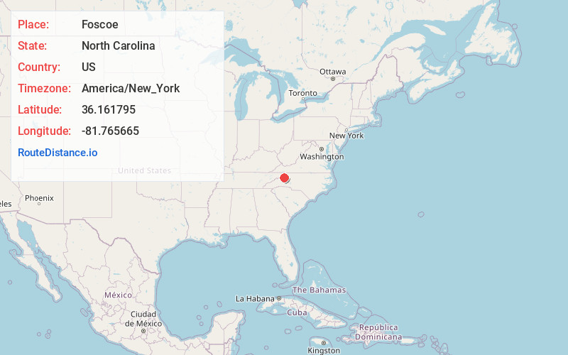
Full AddressFoscoe, NC
-
Coordinates36.161795, -81.7656647
-
LocationFoscoe , North Carolina , US
-
TimezoneAmerica/New_York
-
Current Local Time3:46:00 AM America/New_YorkWednesday, June 18, 2025
-
Page Views0
About Foscoe
Foscoe is an unincorporated community and census-designated place in Watauga County, North Carolina, United States. The community is located on NC 105, southwest of Boone.
The community is between Seven Devils and Shulls Mill. Multiple shops dot the main highway, serving a tourist clientele.


Nearby Places
Found 10 places within 50 miles

Boone
6.0 mi
9.7 km
Boone, NC
Get directions

Lenoir
21.3 mi
34.3 km
Lenoir, NC
Get directions

Mountain City
21.7 mi
34.9 km
Mountain City, TN 37683
Get directions

Gamewell
22.3 mi
35.9 km
Gamewell, NC 28645
Get directions

West Jefferson
22.6 mi
36.4 km
West Jefferson, NC
Get directions

Spruce Pine
23.8 mi
38.3 km
Spruce Pine, NC 28777
Get directions

Jefferson
24.2 mi
38.9 km
Jefferson, NC 28640
Get directions

Hampton
24.2 mi
38.9 km
Hampton, TN 37658
Get directions
Cajah's Mountain
25.2 mi
40.6 km
Cajah's Mountain, NC
Get directions
Valley Forge
25.8 mi
41.5 km
Valley Forge, TN 37643
Get directions
Location Links
Local Weather
Weather Information
Coming soon!
Location Map
Static map view of Foscoe, North Carolina
Browse Places by Distance
Places within specific distances from Foscoe
Short Distances
Long Distances
Click any distance to see all places within that range from Foscoe. Distances shown in miles (1 mile ≈ 1.61 kilometers).