Distance to and from Lenoir, North Carolina
Lenoir, NC
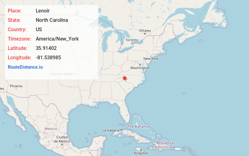
Lenoir
North Carolina
US
America/New_York
Location Information
-
Full AddressLenoir, NC
-
Coordinates35.9140196, -81.5389849
-
LocationLenoir , North Carolina , US
-
TimezoneAmerica/New_York
-
Current Local Time6:51:05 PM America/New_YorkSaturday, May 3, 2025
-
Page Views0
Directions to Nearest Cities
About Lenoir
Lenoir is a city in and the county seat of Caldwell County, North Carolina, United States. The population was 18,263 at the 2020 census. Lenoir is located in the foothills of the Blue Ridge Mountains. To the northeast are the Brushy Mountains, a spur of the Blue Ridge Mountains.


Nearby Places
Found 7 places within 50 miles

Hickory
16.5 mi
26.6 km
Hickory, NC
Get directions

Boone
22.5 mi
36.2 km
Boone, NC
Get directions

Statesville
37.5 mi
60.4 km
Statesville, NC
Get directions

Shelby
43.0 mi
69.2 km
Shelby, NC
Get directions

Mooresville
46.7 mi
75.2 km
Mooresville, NC
Get directions

Cornelius
48.5 mi
78.1 km
Cornelius, NC
Get directions

Gastonia
49.2 mi
79.2 km
Gastonia, NC
Get directions
Location Links
Local Weather
Weather Information
Coming soon!
Location Map
Static map view of Lenoir, North Carolina
Browse Places by Distance
Places within specific distances from Lenoir
Short Distances
Long Distances
Click any distance to see all places within that range from Lenoir. Distances shown in miles (1 mile ≈ 1.61 kilometers).