Distance to Foss, Oregon

Calculating Your Route
Just a moment while we process your request...
Location Information
-
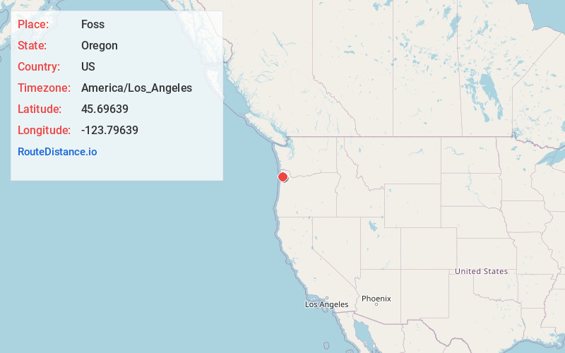
Full AddressFoss, OR 97131
-
Coordinates45.69639, -123.79639
-
LocationFoss , Oregon , US
-
TimezoneAmerica/Los_Angeles
-
Current Local Time1:13:24 AM America/Los_AngelesSunday, June 22, 2025
-
Page Views0
About Foss
Foss is an unincorporated community in Tillamook County, Oregon, United States. It is about 4 miles east of Mohler and Oregon Route 53, near the Nehalem River. Foss is the site of an important river flood gauge.
Foss was named for Herbert Foss, who owned timber in the area.


Nearby Places
Found 10 places within 50 miles

Batterson
1.9 mi
3.1 km
Batterson, OR 97131
Get directions

Wheeler
4.1 mi
6.6 km
Wheeler, OR
Get directions

Barnesdale
4.8 mi
7.7 km
Barnesdale, OR 97131
Get directions

Nehalem
5.0 mi
8.0 km
Nehalem, OR 97131
Get directions
Aldervale
5.5 mi
8.9 km
Aldervale, OR 97131
Get directions
Brighton
6.3 mi
10.1 km
Brighton, OR 97136
Get directions

Manzanita
6.9 mi
11.1 km
Manzanita, OR
Get directions

Neahkahnie Beach
7.3 mi
11.7 km
Neahkahnie Beach, OR 97131
Get directions

Rockaway Beach
9.1 mi
14.6 km
Rockaway Beach, OR 97136
Get directions

Garibaldi
11.0 mi
17.7 km
Garibaldi, OR
Get directions
Location Links
Local Weather
Weather Information
Coming soon!
Location Map
Static map view of Foss, Oregon
Browse Places by Distance
Places within specific distances from Foss
Short Distances
Long Distances
Click any distance to see all places within that range from Foss. Distances shown in miles (1 mile ≈ 1.61 kilometers).