Distance to Fosterville, Tennessee

Calculating Your Route
Just a moment while we process your request...
Location Information
-
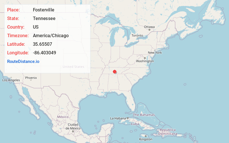
Full AddressFosterville, TN 37020
-
Coordinates35.6550695, -86.4030485
-
LocationFosterville , Tennessee , US
-
TimezoneAmerica/Chicago
-
Current Local Time12:26:49 AM America/ChicagoMonday, June 9, 2025
-
Page Views0
About Fosterville
Fosterville is an unincorporated community in Rutherford County, Tennessee, United States. Its ZIP code is 37063.
A post office called Fosterville was in operation since 1837 but was discontinued on 5/21/2011. Besides the post office, Fosterville also contained a country store.
Nearby Places
Found 10 places within 50 miles

Christiana
3.8 mi
6.1 km
Christiana, TN
Get directions

Deason
4.0 mi
6.4 km
Deason, TN 37020
Get directions

Bell Buckle
5.2 mi
8.4 km
Bell Buckle, TN 37020
Get directions
Webbs Jungle
6.5 mi
10.5 km
Webbs Jungle, TN 37020
Get directions
Rucker
6.8 mi
10.9 km
Rucker, TN 37127
Get directions
Longview
7.2 mi
11.6 km
Longview, TN 37020
Get directions
Link
7.2 mi
11.6 km
Link, TN 37037
Get directions
Gum
7.6 mi
12.2 km
Gum, TN 37127
Get directions
Big Springs
8.3 mi
13.4 km
Big Springs, TN 37037
Get directions

Rutherford County
8.9 mi
14.3 km
Rutherford County, TN
Get directions
Location Links
Local Weather
Weather Information
Coming soon!
Location Map
Static map view of Fosterville, Tennessee
Browse Places by Distance
Places within specific distances from Fosterville
Short Distances
Long Distances
Click any distance to see all places within that range from Fosterville. Distances shown in miles (1 mile ≈ 1.61 kilometers).