Distance to Fountainville, Pennsylvania

Calculating Your Route
Just a moment while we process your request...
Location Information
-
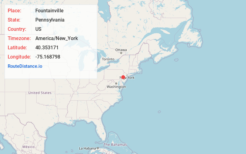
Full AddressFountainville, PA 18923
-
Coordinates40.3531711, -75.1687983
-
LocationFountainville , Pennsylvania , US
-
TimezoneAmerica/New_York
-
Current Local Time11:30:07 PM America/New_YorkThursday, June 19, 2025
-
Page Views0
About Fountainville
Fountainville is an unincorporated community in Bucks County, Pennsylvania, United States. Fountainville is located at the intersection of Pennsylvania Route 313 and Ferry Road at the tripoint of Doylestown, New Britain, and Plumstead townships.
Nearby Places
Found 10 places within 50 miles

Kendigtown
1.5 mi
2.4 km
Kendigtown, Plumstead Township, PA 18902
Get directions
New Galena
1.9 mi
3.1 km
New Galena, New Britain Township, PA 18901
Get directions
Danboro
1.9 mi
3.1 km
Danboro, PA 18902
Get directions
Dublin
2.2 mi
3.5 km
Dublin, PA 18917
Get directions
Dyerstown
2.5 mi
4.0 km
Dyerstown, Plumstead Township, PA 18902
Get directions
Plumsteadville
2.6 mi
4.2 km
Plumsteadville, PA
Get directions
Morris Run
2.8 mi
4.5 km
Morris Run, Hilltown Township, PA 18944
Get directions
Irish Meeting House
3.4 mi
5.5 km
Irish Meeting House, Bedminster Township, PA 18944
Get directions
Gardenville
3.5 mi
5.6 km
Gardenville, PA 18902
Get directions

Doylestown
3.6 mi
5.8 km
Doylestown, PA 18901
Get directions
Location Links
Local Weather
Weather Information
Coming soon!
Location Map
Static map view of Fountainville, Pennsylvania
Browse Places by Distance
Places within specific distances from Fountainville
Short Distances
Long Distances
Click any distance to see all places within that range from Fountainville. Distances shown in miles (1 mile ≈ 1.61 kilometers).