Distance to Doylestown, Pennsylvania

Calculating Your Route
Just a moment while we process your request...
Location Information
-
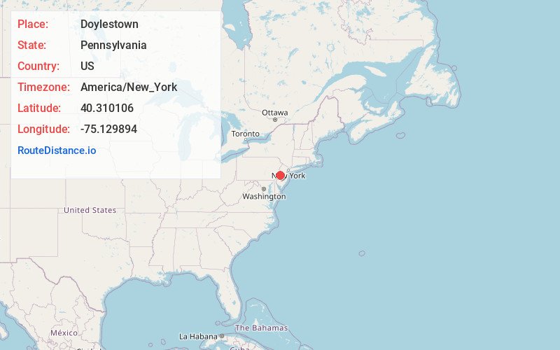
Full AddressDoylestown, PA 18901
-
Coordinates40.3101063, -75.1298939
-
LocationDoylestown , Pennsylvania , US
-
TimezoneAmerica/New_York
-
Current Local Time6:19:09 AM America/New_YorkWednesday, June 18, 2025
-
Website
-
Page Views0
About Doylestown
Doylestown is a borough in and the county seat of Bucks County, Pennsylvania, United States. As of the 2020 census, the borough population was 8,300.
Doylestown is located 20 miles northwest of Trenton, 25 miles north of Center City Philadelphia, and 27 miles southeast of Allentown.


Nearby Places
Found 10 places within 50 miles

Buckingham
3.8 mi
6.1 km
Buckingham, PA 18912
Get directions

Warrington
4.2 mi
6.8 km
Warrington, PA 18976
Get directions

Warminster Township
7.3 mi
11.7 km
Warminster Township, PA 18974
Get directions

Lansdale
9.4 mi
15.1 km
Lansdale, PA 19446
Get directions

Upper Moreland Township
10.8 mi
17.4 km
Upper Moreland Township, PA
Get directions
Towamencin Township
11.3 mi
18.2 km
Towamencin Township, PA
Get directions

Upper Dublin Township
11.3 mi
18.2 km
Upper Dublin Township, PA
Get directions
Whitpain Township
12.9 mi
20.8 km
Whitpain Township, PA
Get directions

Abington Township
12.9 mi
20.8 km
Abington Township, PA
Get directions
Lower Southampton Township
13.0 mi
20.9 km
Lower Southampton Township, PA
Get directions
Location Links
Local Weather
Weather Information
Coming soon!
Location Map
Static map view of Doylestown, Pennsylvania
Browse Places by Distance
Places within specific distances from Doylestown
Short Distances
Long Distances
Click any distance to see all places within that range from Doylestown. Distances shown in miles (1 mile ≈ 1.61 kilometers).