Distance to Whitpain Township, Pennsylvania

Calculating Your Route
Just a moment while we process your request...
Location Information
-
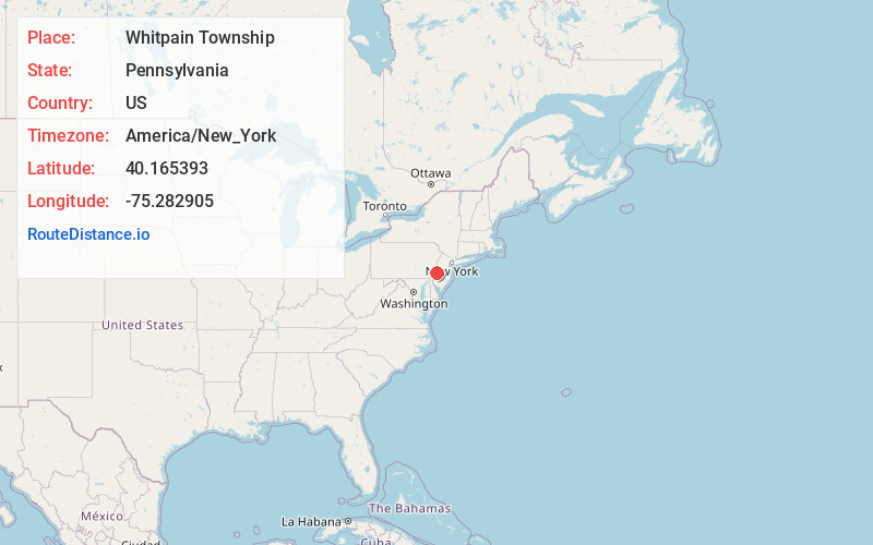
Full AddressWhitpain Township, PA
-
Coordinates40.1653934, -75.2829046
-
LocationWhitpain Township , Pennsylvania , US
-
TimezoneAmerica/New_York
-
Current Local Time7:39:24 AM America/New_YorkTuesday, June 3, 2025
-
Page Views0
About Whitpain Township
Whitpain Township is a township in Montgomery County, Pennsylvania, United States. Founded in 1701, it has grown to a total population of 20,333 as of the 2020 census.
Nearby Places
Found 10 places within 50 miles

Norristown
4.3 mi
6.9 km
Norristown, PA
Get directions

Upper Dublin Township
5.0 mi
8.0 km
Upper Dublin Township, PA
Get directions

Upper Merion Township
6.5 mi
10.5 km
Upper Merion Township, PA
Get directions

King of Prussia
6.9 mi
11.1 km
King of Prussia, PA
Get directions

Montgomery County
7.1 mi
11.4 km
Montgomery County, PA
Get directions

Lower Providence Township
7.5 mi
12.1 km
Lower Providence Township, PA
Get directions
Radnor
9.2 mi
14.8 km
Radnor, PA 19087
Get directions

Abington Township
9.2 mi
14.8 km
Abington Township, PA
Get directions

Upper Moreland Township
9.5 mi
15.3 km
Upper Moreland Township, PA
Get directions

Cheltenham Township
9.7 mi
15.6 km
Cheltenham Township, PA
Get directions
Location Links
Local Weather
Weather Information
Coming soon!
Location Map
Static map view of Whitpain Township, Pennsylvania
Browse Places by Distance
Places within specific distances from Whitpain Township
Short Distances
Long Distances
Click any distance to see all places within that range from Whitpain Township. Distances shown in miles (1 mile ≈ 1.61 kilometers).