Distance to Montgomery County, Pennsylvania

Calculating Your Route
Just a moment while we process your request...
Location Information
-
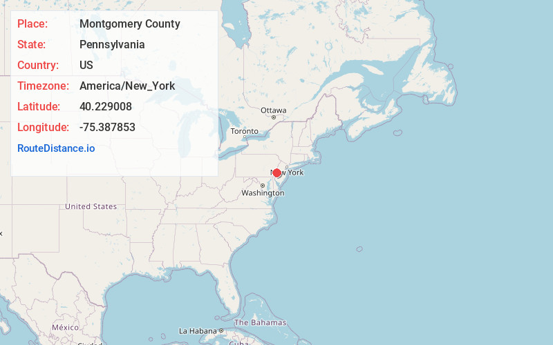
Full AddressMontgomery County, PA
-
Coordinates40.2290075, -75.3878525
-
LocationPennsylvania , US
-
TimezoneAmerica/New_York
-
Current Local Time1:52:57 PM America/New_YorkTuesday, July 1, 2025
-
Page Views0
About Montgomery County
Montgomery County, colloquially referred to as Montco, is a county in the Commonwealth of Pennsylvania.


Nearby Places
Found 10 places within 50 miles

Norristown
7.8 mi
12.6 km
Norristown, PA
Get directions

Upper Merion Township
9.4 mi
15.1 km
Upper Merion Township, PA
Get directions

Tredyffrin Township
11.2 mi
18.0 km
Tredyffrin Township, PA
Get directions

Upper Dublin Township
11.7 mi
18.8 km
Upper Dublin Township, PA
Get directions
Radnor
12.7 mi
20.4 km
Radnor, PA 19087
Get directions

Warrington
13.5 mi
21.7 km
Warrington, PA 18976
Get directions

Warminster Township
14.9 mi
24.0 km
Warminster Township, PA 18974
Get directions

Lower Merion Township
15.1 mi
24.3 km
Lower Merion Township, PA
Get directions

Haverford
15.8 mi
25.4 km
Haverford, PA
Get directions

Upper Moreland Township
15.9 mi
25.6 km
Upper Moreland Township, PA
Get directions
Location Links
Local Weather
Weather Information
Coming soon!
Location Map
Static map view of Montgomery County, Pennsylvania
Browse Places by Distance
Places within specific distances from Montgomery County
Short Distances
Long Distances
Click any distance to see all places within that range from Montgomery County. Distances shown in miles (1 mile ≈ 1.61 kilometers).