Distance to Freedhem, Minnesota

Calculating Your Route
Just a moment while we process your request...
Location Information
-
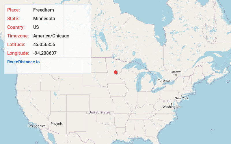
Full AddressFreedhem, MN 56345
-
Coordinates46.0563547, -94.2086071
-
LocationFreedhem , Minnesota , US
-
TimezoneAmerica/Chicago
-
Current Local Time11:23:45 AM America/ChicagoThursday, June 19, 2025
-
Page Views0
About Freedhem
Freedhem is an unincorporated community in Belle Prairie Township, Morrison County, Minnesota, United States. The community is located near the junction of 203rd Street and Morrison County Road 45, Jewel Road. Nearby places include Little Falls, Pierz, and Camp Ripley.
Nearby Places
Found 10 places within 50 miles

Belle Prairie Township
2.5 mi
4.0 km
Belle Prairie Township, MN
Get directions

Lastrup
7.1 mi
11.4 km
Lastrup, MN
Get directions

Pierz
7.2 mi
11.6 km
Pierz, MN 56364
Get directions

Genola
7.8 mi
12.6 km
Genola, MN 56364
Get directions
Harding
9.0 mi
14.5 km
Harding, MN 56364
Get directions

Little Falls
9.3 mi
15.0 km
Little Falls, MN 56345
Get directions
Vawter
10.1 mi
16.3 km
Vawter, MN 56373
Get directions
Fort Ripley
10.5 mi
16.9 km
Fort Ripley, MN 56449
Get directions
Gregory
10.8 mi
17.4 km
Gregory, MN 56345
Get directions
St Mathias
11.7 mi
18.8 km
St Mathias, MN 56449
Get directions
Location Links
Local Weather
Weather Information
Coming soon!
Location Map
Static map view of Freedhem, Minnesota
Browse Places by Distance
Places within specific distances from Freedhem
Short Distances
Long Distances
Click any distance to see all places within that range from Freedhem. Distances shown in miles (1 mile ≈ 1.61 kilometers).