Distance to Fristoe, Missouri

Calculating Your Route
Just a moment while we process your request...
Location Information
-
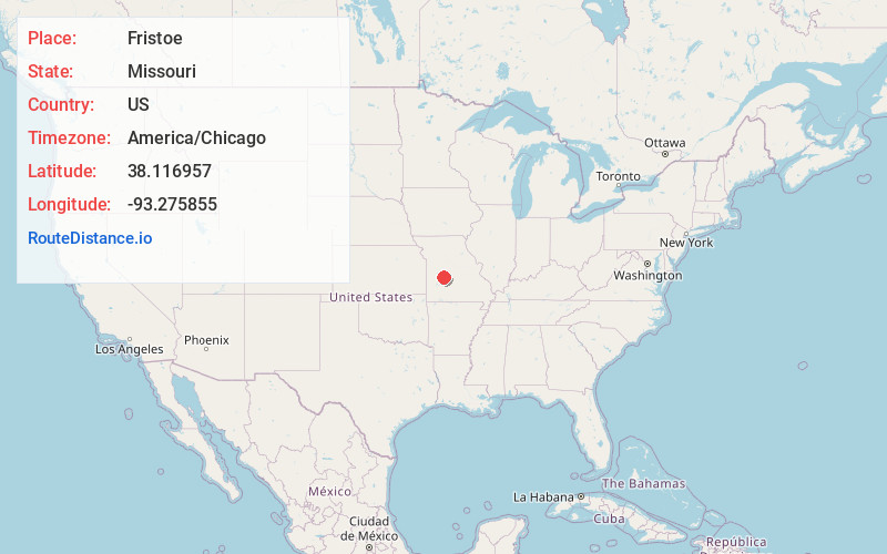
Full AddressFristoe, MO 65355
-
Coordinates38.116957, -93.2758554
-
LocationFristoe , Missouri , US
-
TimezoneAmerica/Chicago
-
Current Local Time6:03:50 PM America/ChicagoSaturday, June 21, 2025
-
Page Views0
About Fristoe
Fristoe is an unincorporated community in Benton County, Missouri, United States. Fristoe is located at the junction of U.S. Route 65 and Supplemental Route CC, 10.45 miles southeast of Warsaw.
The Pomme de Terre River arm of Harry S Truman Reservoir lies approximately four miles to the west along Missouri Route CC.

Nearby Places
Found 10 places within 50 miles

Cross Timbers
6.9 mi
11.1 km
Cross Timbers, MO 65326
Get directions
White Branch
9.2 mi
14.8 km
White Branch, MO 65355
Get directions
Cold Springs
9.8 mi
15.8 km
Cold Springs, Tom Township, MO 65355
Get directions
Knobby
10.1 mi
16.3 km
Knobby, Union Township, MO 65326
Get directions

Warsaw
10.4 mi
16.7 km
Warsaw, MO 65355
Get directions

Climax Springs
12.3 mi
19.8 km
Climax Springs, MO 65324
Get directions

Hermitage
12.3 mi
19.8 km
Hermitage, MO 65668
Get directions
Preston
12.7 mi
20.4 km
Preston, MO 65732
Get directions
Wheatland
13.6 mi
21.9 km
Wheatland, MO 65779
Get directions

Lincoln
19.2 mi
30.9 km
Lincoln, MO 65338
Get directions
Location Links
Local Weather
Weather Information
Coming soon!
Location Map
Static map view of Fristoe, Missouri
Browse Places by Distance
Places within specific distances from Fristoe
Short Distances
Long Distances
Click any distance to see all places within that range from Fristoe. Distances shown in miles (1 mile ≈ 1.61 kilometers).