Distance to White Branch, Missouri

Calculating Your Route
Just a moment while we process your request...
Location Information
-
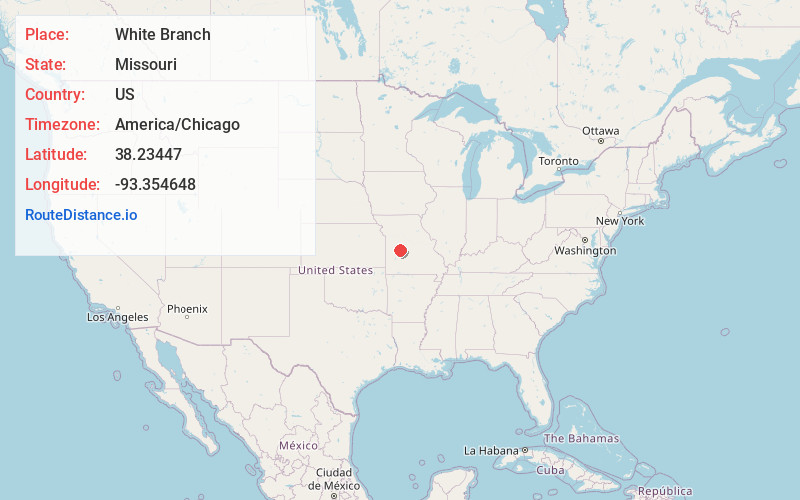
Full AddressWhite Branch, MO 65355
-
Coordinates38.2344703, -93.3546481
-
LocationWhite Branch , Missouri , US
-
TimezoneAmerica/Chicago
-
Current Local Time10:41:57 AM America/ChicagoSaturday, June 14, 2025
-
Page Views0
About White Branch
White Branch is an unincorporated community and census-designated place in Benton County, Missouri, United States. It is southwest of the center of the county, on the south side of the Osage River where it is joined from the south by White Branch, a tributary.
Nearby Places
Found 10 places within 50 miles

Warsaw
1.6 mi
2.6 km
Warsaw, MO 65355
Get directions

Lincoln
10.9 mi
17.5 km
Lincoln, MO 65338
Get directions

Cross Timbers
16.1 mi
25.9 km
Cross Timbers, MO 65326
Get directions

Cole Camp
17.6 mi
28.3 km
Cole Camp, MO 65325
Get directions

Hermitage
20.4 mi
32.8 km
Hermitage, MO 65668
Get directions
Lowry City
21.2 mi
34.1 km
Lowry City, MO 64763
Get directions

Calhoun
21.8 mi
35.1 km
Calhoun, MO 65323
Get directions
Preston
21.8 mi
35.1 km
Preston, MO 65732
Get directions

Windsor
22.5 mi
36.2 km
Windsor, MO 65360
Get directions

Deepwater
22.8 mi
36.7 km
Deepwater, MO 64740
Get directions
Location Links
Local Weather
Weather Information
Coming soon!
Location Map
Static map view of White Branch, Missouri
Browse Places by Distance
Places within specific distances from White Branch
Short Distances
Long Distances
Click any distance to see all places within that range from White Branch. Distances shown in miles (1 mile ≈ 1.61 kilometers).