Distance to Fulda, Indiana

Calculating Your Route
Just a moment while we process your request...
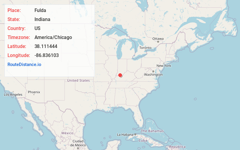
Location Information
-
Full AddressFulda, IN 47531
-
Coordinates38.1114441, -86.8361027
-
LocationFulda , Indiana , US
-
TimezoneAmerica/Chicago
-
Current Local Time11:15:14 PM America/ChicagoThursday, June 19, 2025
-
Page Views0
About Fulda
Fulda is an unincorporated community in Harrison Township, Spencer County, in the U.S. state of Indiana. The Spencer County Memorial Forest features a World War II veterans memorial. There is a shooting match the first weekend of October.

Nearby Places
Found 10 places within 50 miles

Huffman
3.3 mi
5.3 km
Huffman, IN 47588
Get directions

Santa Claus
4.3 mi
6.9 km
Santa Claus, IN
Get directions
St Meinrad
4.4 mi
7.1 km
St Meinrad, IN 47577
Get directions
Lamar
4.8 mi
7.7 km
Lamar, IN 47550
Get directions
Schley
4.9 mi
7.9 km
Schley, Huff Township, IN 47531
Get directions
Kennedy
5.1 mi
8.2 km
Kennedy, IN 47550
Get directions
Mariah Hill
6.1 mi
9.8 km
Mariah Hill, IN
Get directions
Bristow
6.5 mi
10.5 km
Bristow, IN 47515
Get directions
Liberal
7.4 mi
11.9 km
Liberal, Clay Township, IN 47550
Get directions
Ferdinand
7.9 mi
12.7 km
Ferdinand, IN 47532
Get directions
Location Links
Local Weather
Weather Information
Coming soon!
Location Map
Static map view of Fulda, Indiana
Browse Places by Distance
Places within specific distances from Fulda
Short Distances
Long Distances
Click any distance to see all places within that range from Fulda. Distances shown in miles (1 mile ≈ 1.61 kilometers).