Distance to Gadsden, Arizona

Calculating Your Route
Just a moment while we process your request...
Location Information
-
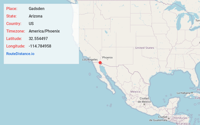
Full AddressGadsden, AZ
-
Coordinates32.5544974, -114.7849577
-
LocationGadsden , Arizona , US
-
TimezoneAmerica/Phoenix
-
Current Local Time2:55:45 PM America/PhoenixThursday, June 5, 2025
-
Page Views0
About Gadsden
Gadsden is a census-designated place and colonia in Yuma County, Arizona, United States. The population was 953 at the 2000 census. It is part of the Yuma Metropolitan Statistical Area.
Nearby Places
Found 10 places within 50 miles

San Luis
4.7 mi
7.6 km
San Luis, AZ
Get directions

Somerton
5.3 mi
8.5 km
Somerton, AZ
Get directions

Yuma
13.2 mi
21.2 km
Yuma, AZ
Get directions

Avenue B and C
13.5 mi
21.7 km
Avenue B and C, AZ 85364
Get directions

Fortuna Foothills
22.9 mi
36.9 km
Fortuna Foothills, AZ
Get directions

Wellton
38.0 mi
61.2 km
Wellton, AZ 85356
Get directions

Holtville
38.9 mi
62.6 km
Holtville, CA 92250
Get directions

Calexico
42.4 mi
68.2 km
Calexico, CA
Get directions

Heber
45.0 mi
72.4 km
Heber, CA 92249
Get directions

El Centro
48.1 mi
77.4 km
El Centro, CA
Get directions
Location Links
Local Weather
Weather Information
Coming soon!
Location Map
Static map view of Gadsden, Arizona
Browse Places by Distance
Places within specific distances from Gadsden
Short Distances
Long Distances
Click any distance to see all places within that range from Gadsden. Distances shown in miles (1 mile ≈ 1.61 kilometers).