Distance to Gagetown, Michigan

Calculating Your Route
Just a moment while we process your request...
Location Information
-
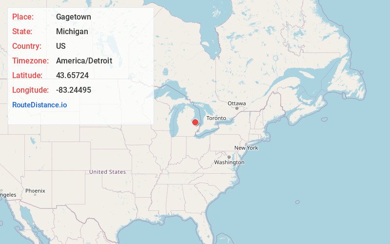
Full AddressGagetown, MI
-
Coordinates43.6572395, -83.2449503
-
LocationGagetown , Michigan , US
-
TimezoneAmerica/Detroit
-
Current Local Time11:39:36 PM America/DetroitThursday, June 19, 2025
-
Page Views0
About Gagetown
Gagetown is a village in Tuscola County in the U.S. state of Michigan. The population was 388 at the 2010 census. It is located in the northeastern corner of Elmwood Township.
Gagetown is northeast of the Saginaw metropolitan area as well as the city of Caro.
Nearby Places
Found 10 places within 50 miles

Cass City
5.2 mi
8.4 km
Cass City, MI 48726
Get directions

Unionville
11.1 mi
17.9 km
Unionville, MI 48767
Get directions

Sebewaing
11.5 mi
18.5 km
Sebewaing, MI 48759
Get directions

Elkton
11.7 mi
18.8 km
Elkton, MI 48731
Get directions

Pigeon
12.0 mi
19.3 km
Pigeon, MI 48755
Get directions

Caro
13.8 mi
22.2 km
Caro, MI 48723
Get directions
Akron
14.8 mi
23.8 km
Akron, MI 48701
Get directions

Bad Axe
15.8 mi
25.4 km
Bad Axe, MI 48413
Get directions

Ubly
16.1 mi
25.9 km
Ubly, MI 48475
Get directions

Kingston
17.0 mi
27.4 km
Kingston, MI 48741
Get directions
Location Links
Local Weather
Weather Information
Coming soon!
Location Map
Static map view of Gagetown, Michigan
Browse Places by Distance
Places within specific distances from Gagetown
Short Distances
Long Distances
Click any distance to see all places within that range from Gagetown. Distances shown in miles (1 mile ≈ 1.61 kilometers).