Distance to Galchutt, North Dakota

Calculating Your Route
Just a moment while we process your request...
Location Information
-
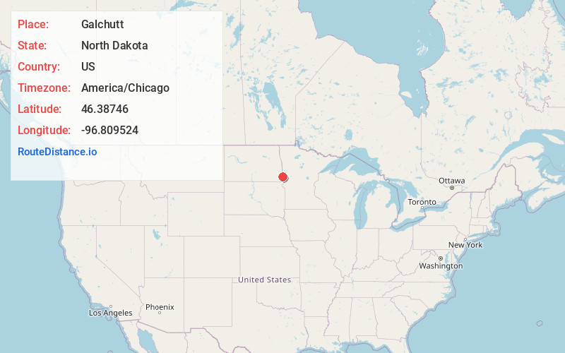
Full AddressGalchutt, ND 58075
-
Coordinates46.3874603, -96.8095244
-
LocationGalchutt , North Dakota , US
-
TimezoneAmerica/Chicago
-
Current Local Time4:52:29 PM America/ChicagoThursday, June 19, 2025
-
Page Views0
About Galchutt
Galchutt is an unincorporated community in Richland County, North Dakota, United States. Galchutt is located along the Red River Valley and Western Railroad 12.9 miles, northwest of Wahpeton.
The village of Galchutt took its name from the owner Hans Galchutt.
Nearby Places
Found 10 places within 50 miles

Abercrombie
5.6 mi
9.0 km
Abercrombie, ND
Get directions
Colfax
6.5 mi
10.5 km
Colfax, ND 58018
Get directions
Dwight
6.7 mi
10.8 km
Dwight, ND 58075
Get directions
Kent
6.8 mi
10.9 km
Kent, MN
Get directions
Brushvale
8.0 mi
12.9 km
Brushvale, MN 56520
Get directions
Mooreton
8.8 mi
14.2 km
Mooreton, ND 58061
Get directions
Barney
12.3 mi
19.8 km
Barney, ND 58008
Get directions
Wolverton
12.7 mi
20.4 km
Wolverton, MN 56594
Get directions
Walcott
12.7 mi
20.4 km
Walcott, ND 58077
Get directions
Christine
12.9 mi
20.8 km
Christine, ND 58015
Get directions
Location Links
Local Weather
Weather Information
Coming soon!
Location Map
Static map view of Galchutt, North Dakota
Browse Places by Distance
Places within specific distances from Galchutt
Short Distances
Long Distances
Click any distance to see all places within that range from Galchutt. Distances shown in miles (1 mile ≈ 1.61 kilometers).