Distance to Walcott, North Dakota

Calculating Your Route
Just a moment while we process your request...
Location Information
-
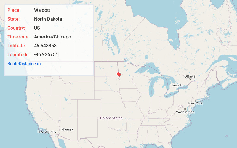
Full AddressWalcott, ND 58077
-
Coordinates46.5488528, -96.9367514
-
LocationWalcott , North Dakota , US
-
TimezoneAmerica/Chicago
-
Current Local Time3:04:18 PM America/ChicagoThursday, June 19, 2025
-
Page Views0
About Walcott
Walcott is a city in Richland County, North Dakota, United States. The population was 262 at the 2020 census. Walcott was founded in 1880. It is part of the Wahpeton, ND–MN Micropolitan Statistical Area.
Nearby Places
Found 10 places within 50 miles

Kindred
7.9 mi
12.7 km
Kindred, ND 58051
Get directions

Oxbow
10.6 mi
17.1 km
Oxbow, ND 58047
Get directions

Horace
14.6 mi
23.5 km
Horace, ND
Get directions

Sabin
20.8 mi
33.5 km
Sabin, MN 56580
Get directions
Wyndmere
21.6 mi
34.8 km
Wyndmere, ND 58081
Get directions

West Fargo
22.7 mi
36.5 km
West Fargo, ND
Get directions

Fargo
23.7 mi
38.1 km
Fargo, ND
Get directions

Moorhead
23.8 mi
38.3 km
Moorhead, MN
Get directions
Mapleton
24.3 mi
39.1 km
Mapleton, ND
Get directions

Wahpeton
25.1 mi
40.4 km
Wahpeton, ND 58075
Get directions
Location Links
Local Weather
Weather Information
Coming soon!
Location Map
Static map view of Walcott, North Dakota
Browse Places by Distance
Places within specific distances from Walcott
Short Distances
Long Distances
Click any distance to see all places within that range from Walcott. Distances shown in miles (1 mile ≈ 1.61 kilometers).