Distance to Mapleton, North Dakota

Calculating Your Route
Just a moment while we process your request...
Location Information
-
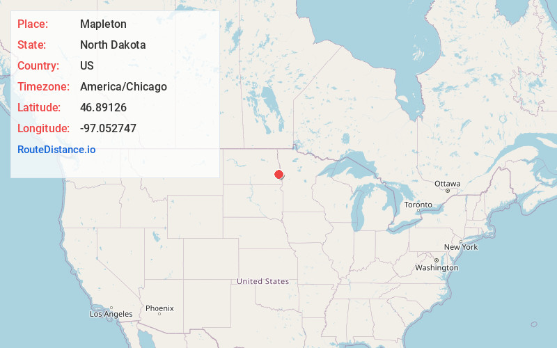
Full AddressMapleton, ND
-
Coordinates46.8912602, -97.0527466
-
LocationMapleton , North Dakota , US
-
TimezoneAmerica/Chicago
-
Current Local Time4:23:34 AM America/ChicagoWednesday, June 18, 2025
-
Page Views0
About Mapleton
Mapleton is a city in Cass County, North Dakota, United States. It sits on the banks of the Maple River. The population was 1,320 at the 2020 census. Mapleton serves as a bedroom community of the Fargo-Moorhead metropolitan area. The core cities are ten miles to the east of Mapleton.
Nearby Places
Found 10 places within 50 miles

West Fargo
7.3 mi
11.7 km
West Fargo, ND
Get directions

Casselton
7.5 mi
12.1 km
Casselton, ND 58012
Get directions

Horace
11.5 mi
18.5 km
Horace, ND
Get directions

Fargo
12.5 mi
20.1 km
Fargo, ND
Get directions

Moorhead
13.5 mi
21.7 km
Moorhead, MN
Get directions

Dilworth
16.9 mi
27.2 km
Dilworth, MN 56529
Get directions

Glyndon
22.4 mi
36.0 km
Glyndon, MN 56547
Get directions

Barnesville
34.2 mi
55.0 km
Barnesville, MN 56514
Get directions

Hawley
34.8 mi
56.0 km
Hawley, MN 56549
Get directions

Hillsboro
35.4 mi
57.0 km
Hillsboro, ND 58045
Get directions
Location Links
Local Weather
Weather Information
Coming soon!
Location Map
Static map view of Mapleton, North Dakota
Browse Places by Distance
Places within specific distances from Mapleton
Short Distances
Long Distances
Click any distance to see all places within that range from Mapleton. Distances shown in miles (1 mile ≈ 1.61 kilometers).