Distance to Galena, Kansas

Calculating Your Route
Just a moment while we process your request...
Location Information
-
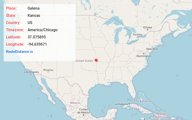
Full AddressGalena, KS 66739
-
Coordinates37.0758952, -94.6396714
-
LocationGalena , Kansas , US
-
TimezoneAmerica/Chicago
-
Current Local Time11:49:47 AM America/ChicagoFriday, May 30, 2025
-
Page Views0
About Galena
Galena is a city in Cherokee County, Kansas, United States. As of the 2020 census, the population of the city was 2,761.


Nearby Places
Found 10 places within 50 miles

Baxter Springs
6.4 mi
10.3 km
Baxter Springs, KS 66713
Get directions

Joplin
7.0 mi
11.3 km
Joplin, MO
Get directions

Carl Junction
8.1 mi
13.0 km
Carl Junction, MO
Get directions

Webb City
10.9 mi
17.5 km
Webb City, MO
Get directions

Columbus
13.0 mi
20.9 km
Columbus, KS 66725
Get directions

Miami
19.1 mi
30.7 km
Miami, OK 74354
Get directions

Carthage
19.4 mi
31.2 km
Carthage, MO 64836
Get directions

Neosho
20.7 mi
33.3 km
Neosho, MO 64850
Get directions

Pittsburg
23.4 mi
37.7 km
Pittsburg, KS 66762
Get directions

Frontenac
26.4 mi
42.5 km
Frontenac, KS
Get directions
Location Links
Local Weather
Weather Information
Coming soon!
Location Map
Static map view of Galena, Kansas
Browse Places by Distance
Places within specific distances from Galena
Short Distances
Long Distances
Click any distance to see all places within that range from Galena. Distances shown in miles (1 mile ≈ 1.61 kilometers).