Distance to Galisteo, New Mexico

Calculating Your Route
Just a moment while we process your request...
Location Information
-
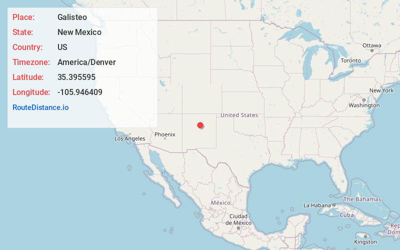
Full AddressGalisteo, NM 87540
-
Coordinates35.3955945, -105.9464093
-
LocationGalisteo , New Mexico , US
-
TimezoneAmerica/Denver
-
Current Local Time1:58:08 PM America/DenverMonday, June 2, 2025
-
Page Views0
About Galisteo
Galisteo is a census-designated place in Santa Fe County, New Mexico, United States. It is part of the Santa Fe, New Mexico Metropolitan Statistical Area. The population was 253 at the 2020 census.

Nearby Places
Found 10 places within 50 miles

Eldorado at Santa Fe
9.1 mi
14.6 km
Eldorado at Santa Fe, NM
Get directions

La Cienega
15.5 mi
24.9 km
La Cienega, NM 87507
Get directions

Glorieta
16.3 mi
26.2 km
Glorieta, NM 87535
Get directions

La Cueva
18.1 mi
29.1 km
La Cueva, NM 87535
Get directions

Agua Fria
18.4 mi
29.6 km
Agua Fria, NM 87507
Get directions

Santa Fe
20.3 mi
32.7 km
Santa Fe, NM
Get directions

Cedar Grove
20.7 mi
33.3 km
Cedar Grove, NM
Get directions

San Pedro Overlook
22.2 mi
35.7 km
San Pedro Overlook, La Madera, NM 87047
Get directions

Kewa Pueblo
25.0 mi
40.2 km
Kewa Pueblo, NM 87052
Get directions

Tesuque
25.3 mi
40.7 km
Tesuque, NM
Get directions
Location Links
Local Weather
Weather Information
Coming soon!
Location Map
Static map view of Galisteo, New Mexico
Browse Places by Distance
Places within specific distances from Galisteo
Short Distances
Long Distances
Click any distance to see all places within that range from Galisteo. Distances shown in miles (1 mile ≈ 1.61 kilometers).