Distance to Galla Rock, Arkansas

Calculating Your Route
Just a moment while we process your request...
Location Information
-
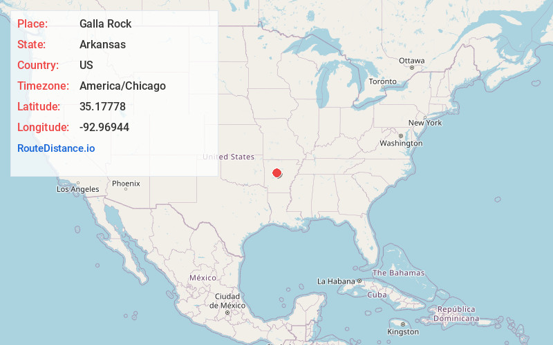
Full AddressGalla Rock, AR 72823
-
Coordinates35.17778, -92.96944
-
LocationGalla Rock , Arkansas , US
-
TimezoneAmerica/Chicago
-
Current Local Time7:53:38 AM America/ChicagoThursday, May 29, 2025
-
Page Views0
About Galla Rock
Galla Rock is an unincorporated community in Wilson Township, southern Pope County, Arkansas, United States. The community is on Arkansas Route 105 just north of the Arkansas River and the Pope-Yell county line. Atkins is approximately 4.5 miles to the north along Route 105.
Nearby Places
Found 10 places within 50 miles

Carden Bottoms
3.2 mi
5.1 km
Carden Bottoms, AR 72823
Get directions
Fowler
3.5 mi
5.6 km
Fowler, AR 72834
Get directions

Holla Bend
4.7 mi
7.6 km
Holla Bend, AR 72858
Get directions

Atkins
4.8 mi
7.7 km
Atkins, AR
Get directions
Worthen
5.4 mi
8.7 km
Worthen, AR 72823
Get directions
Cotton Town
6.5 mi
10.5 km
Cotton Town, AR 72823
Get directions

Pottsville
6.8 mi
10.9 km
Pottsville, AR
Get directions
Mars Hill
7.0 mi
11.3 km
Mars Hill, AR 72858
Get directions
Old Neely
7.3 mi
11.7 km
Old Neely, AR 72834
Get directions
New Neely
7.6 mi
12.2 km
New Neely, AR 72823
Get directions
Location Links
Local Weather
Weather Information
Coming soon!
Location Map
Static map view of Galla Rock, Arkansas
Browse Places by Distance
Places within specific distances from Galla Rock
Short Distances
Long Distances
Click any distance to see all places within that range from Galla Rock. Distances shown in miles (1 mile ≈ 1.61 kilometers).