Distance to Gallant, Alabama

Calculating Your Route
Just a moment while we process your request...
Location Information
-
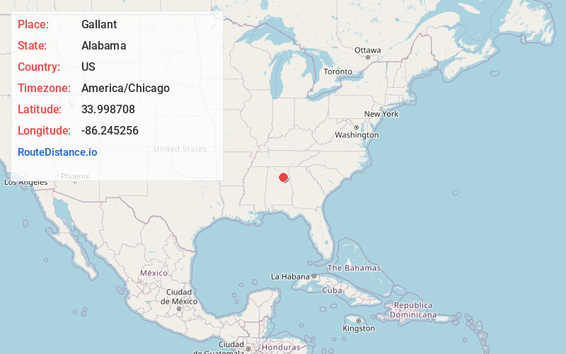
Full AddressGallant, AL 35972
-
Coordinates33.9987084, -86.245256
-
LocationGallant , Alabama , US
-
TimezoneAmerica/Chicago
-
Current Local Time3:02:59 PM America/ChicagoWednesday, June 25, 2025
-
Page Views1
About Gallant
Gallant, also known as Clear Springs or Greasy Cove, is a census-designated place and unincorporated community in Etowah, and St. Clair counties, Alabama, United States. It lies west of the city of Gadsden, the county seat of Etowah County. As of the 2010 census, its population was 855.


Nearby Places
Found 10 places within 50 miles

Steele
4.8 mi
7.7 km
Steele, AL 35987
Get directions

Altoona
5.0 mi
8.0 km
Altoona, AL
Get directions

Egypt
7.3 mi
11.7 km
Egypt, AL
Get directions

Attalla
9.1 mi
14.6 km
Attalla, AL
Get directions
Carlisle-Rockledge
9.8 mi
15.8 km
Carlisle-Rockledge, AL
Get directions

Ashville
11.2 mi
18.0 km
Ashville, AL
Get directions
Susan Moore
11.3 mi
18.2 km
Susan Moore, AL
Get directions

Snead
12.0 mi
19.3 km
Snead, AL 35952
Get directions

Rainbow City
12.0 mi
19.3 km
Rainbow City, AL 35906
Get directions

Oneonta
13.5 mi
21.7 km
Oneonta, AL
Get directions
Location Links
Local Weather
Weather Information
Coming soon!
Location Map
Static map view of Gallant, Alabama
Browse Places by Distance
Places within specific distances from Gallant
Short Distances
Long Distances
Click any distance to see all places within that range from Gallant. Distances shown in miles (1 mile ≈ 1.61 kilometers).