Distance to Steele, Alabama

Calculating Your Route
Just a moment while we process your request...
Location Information
-
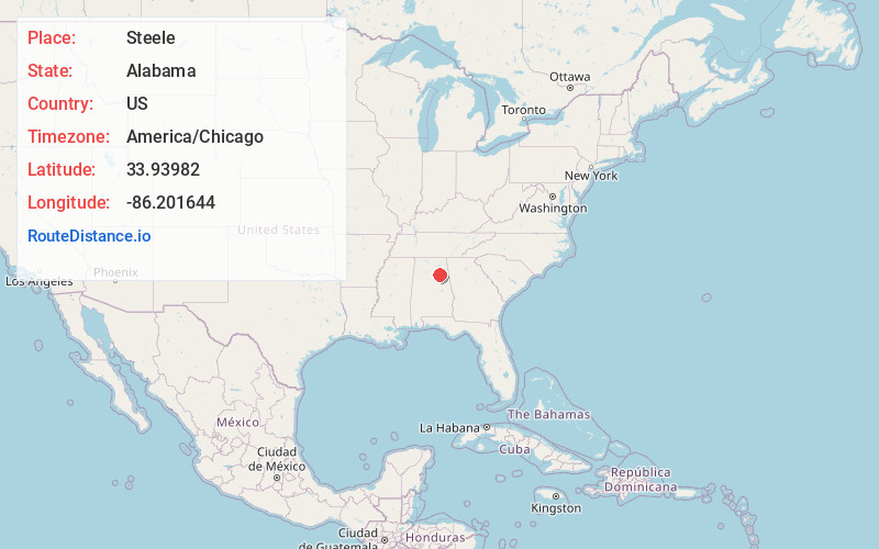
Full AddressSteele, AL 35987
-
Coordinates33.9398201, -86.2016435
-
LocationSteele , Alabama , US
-
TimezoneAmerica/Chicago
-
Current Local Time11:42:25 PM America/ChicagoFriday, June 6, 2025
-
Page Views0
About Steele
Steele is a town in northeastern St. Clair County, Alabama, United States. It was incorporated in 1952. At the 2010 census the population was 1,043, down from 1,093. The town is a part of the Birmingham–Hoover–Cullman Combined Statistical Area.


Nearby Places
Found 10 places within 50 miles

Ashville
7.7 mi
12.4 km
Ashville, AL
Get directions

Attalla
8.6 mi
13.8 km
Attalla, AL
Get directions

Rainbow City
9.2 mi
14.8 km
Rainbow City, AL 35906
Get directions

Southside
10.3 mi
16.6 km
Southside, AL
Get directions

Carlisle-Rockledge
11.5 mi
18.5 km
Carlisle-Rockledge, AL
Get directions

Gadsden
12.3 mi
19.8 km
Gadsden, AL
Get directions
Ragland
13.7 mi
22.0 km
Ragland, AL 35131
Get directions

Glencoe
15.5 mi
24.9 km
Glencoe, AL
Get directions

Oneonta
15.6 mi
25.1 km
Oneonta, AL
Get directions

Sardis City
16.8 mi
27.0 km
Sardis City, AL 35956
Get directions
Location Links
Local Weather
Weather Information
Coming soon!
Location Map
Static map view of Steele, Alabama
Browse Places by Distance
Places within specific distances from Steele
Short Distances
Long Distances
Click any distance to see all places within that range from Steele. Distances shown in miles (1 mile ≈ 1.61 kilometers).