Distance to Ragland, Alabama

Calculating Your Route
Just a moment while we process your request...
Location Information
-
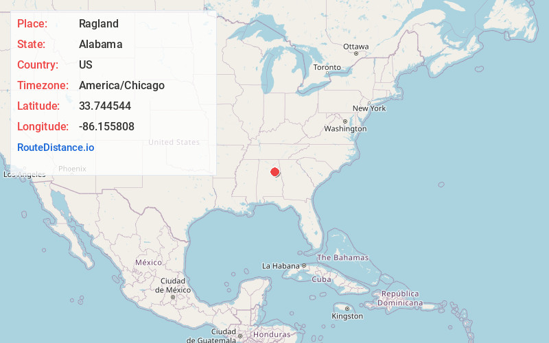
Full AddressRagland, AL 35131
-
Coordinates33.7445442, -86.1558079
-
LocationRagland , Alabama , US
-
TimezoneAmerica/Chicago
-
Current Local Time9:28:56 PM America/ChicagoFriday, June 20, 2025
-
Page Views0
About Ragland
Ragland is a town in St. Clair County, Alabama, United States southeast of Ashville. It incorporated in 1899. At the 2020 census, the population was 1,693, up slightly from 1,639 in 2010. It is part of the Birmingham-Hoover-Cullman Combined Statistical Area.
Nearby Places
Found 10 places within 50 miles

Ashville
8.5 mi
13.7 km
Ashville, AL
Get directions

Lincoln
9.3 mi
15.0 km
Lincoln, AL
Get directions

Riverside
10.0 mi
16.1 km
Riverside, AL
Get directions

Pell City
13.3 mi
21.4 km
Pell City, AL
Get directions

Odenville
14.6 mi
23.5 km
Odenville, AL
Get directions

Southside
14.6 mi
23.5 km
Southside, AL
Get directions

Alexandria
15.7 mi
25.3 km
Alexandria, AL
Get directions

Rainbow City
15.9 mi
25.6 km
Rainbow City, AL 35906
Get directions
West End-Cobb Town
17.6 mi
28.3 km
West End-Cobb Town, AL 36201
Get directions

Springville
18.3 mi
29.5 km
Springville, AL
Get directions
Location Links
Local Weather
Weather Information
Coming soon!
Location Map
Static map view of Ragland, Alabama
Browse Places by Distance
Places within specific distances from Ragland
Short Distances
Long Distances
Click any distance to see all places within that range from Ragland. Distances shown in miles (1 mile ≈ 1.61 kilometers).