Distance to Galloway, West Virginia

Calculating Your Route
Just a moment while we process your request...
Location Information
-
Full AddressGalloway, WV 26416
-
Coordinates39.2323377, -80.121949
-
LocationGalloway , West Virginia , US
-
TimezoneAmerica/New_York
-
Current Local Time2:18:00 PM America/New_YorkTuesday, June 24, 2025
-
Page Views0
About Galloway
Galloway is a census-designated place and coal town in northwestern Barbour County, West Virginia, United States. It lies along West Virginia Route 76 northwest of the city of Philippi, the county seat of Barbour County. Its elevation is 1,073 feet. It has a post office with the ZIP code 26349.
Nearby Places
Found 10 places within 50 miles

Flemington
2.4 mi
3.9 km
Flemington, WV 26330
Get directions

Philippi
7.0 mi
11.3 km
Philippi, WV 26416
Get directions

Bridgeport
8.1 mi
13.0 km
Bridgeport, WV
Get directions

Anmoore
9.3 mi
15.0 km
Anmoore, WV
Get directions

Grafton
9.3 mi
15.0 km
Grafton, WV 26354
Get directions
Century
9.8 mi
15.8 km
Century, WV 26201
Get directions

Stonewood
10.3 mi
16.6 km
Stonewood, WV 26301
Get directions
East View
10.5 mi
16.9 km
East View, WV 26301
Get directions
Despard
10.6 mi
17.1 km
Despard, WV 26301
Get directions

Nutter Fort
10.8 mi
17.4 km
Nutter Fort, WV 26301
Get directions
Location Links
Local Weather
Weather Information
Coming soon!
Location Map
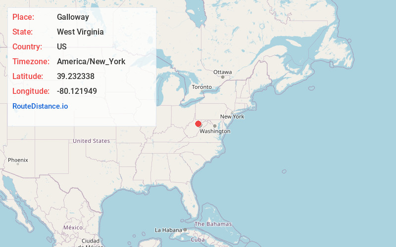
Static map view of Galloway, West Virginia
Browse Places by Distance
Places within specific distances from Galloway
Short Distances
Long Distances
Click any distance to see all places within that range from Galloway. Distances shown in miles (1 mile ≈ 1.61 kilometers).