Distance to Nutter Fort, West Virginia

Calculating Your Route
Just a moment while we process your request...
Location Information
-
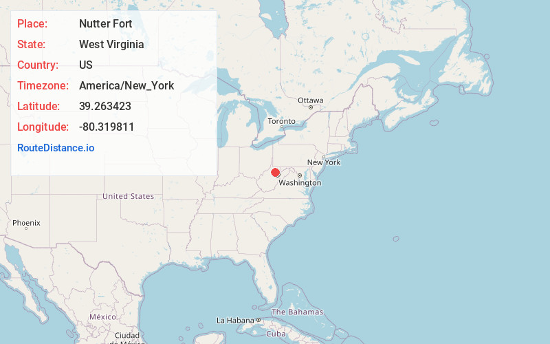
Full AddressNutter Fort, WV 26301
-
Coordinates39.2634234, -80.3198114
-
LocationNutter Fort , West Virginia , US
-
TimezoneAmerica/New_York
-
Current Local Time1:08:53 AM America/New_YorkFriday, June 20, 2025
-
Page Views0
About Nutter Fort
Nutter Fort is a town in Harrison County, West Virginia, United States, incorporated in 1923. The town is a southeastern suburb of Clarksburg.

Nearby Places
Found 10 places within 50 miles

Stonewood
1.0 mi
1.6 km
Stonewood, WV 26301
Get directions

Clarksburg
1.8 mi
2.9 km
Clarksburg, WV
Get directions

Bridgeport
3.8 mi
6.1 km
Bridgeport, WV
Get directions

Shinnston
9.2 mi
14.8 km
Shinnston, WV 26431
Get directions

Salem
12.9 mi
20.8 km
Salem, WV 26426
Get directions

Pleasant Valley
16.3 mi
26.2 km
Pleasant Valley, WV 26554
Get directions

Philippi
16.8 mi
27.0 km
Philippi, WV 26416
Get directions

Grafton
17.0 mi
27.4 km
Grafton, WV 26354
Get directions

Weston
17.4 mi
28.0 km
Weston, WV 26452
Get directions

Fairmont
18.0 mi
29.0 km
Fairmont, WV 26554
Get directions
Location Links
Local Weather
Weather Information
Coming soon!
Location Map
Static map view of Nutter Fort, West Virginia
Browse Places by Distance
Places within specific distances from Nutter Fort
Short Distances
Long Distances
Click any distance to see all places within that range from Nutter Fort. Distances shown in miles (1 mile ≈ 1.61 kilometers).