Distance to Garretts Bend, West Virginia

Calculating Your Route
Just a moment while we process your request...
Location Information
-
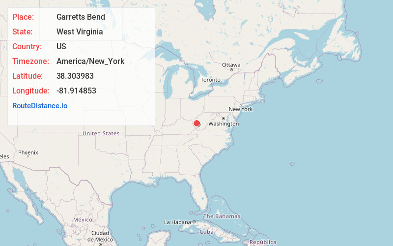
Full AddressGarretts Bend, WV 25564
-
Coordinates38.3039828, -81.9148529
-
LocationWest Virginia , US
-
TimezoneAmerica/New_York
-
Current Local Time8:44:33 AM America/New_YorkSaturday, June 7, 2025
-
Page Views0
About Garretts Bend
Garretts Bend is an unincorporated community on the Trace Fork of the Mud River in northeastern Lincoln County, West Virginia, United States. It lends its name to the United States Geological Survey's "Garretts Bend" Quadrangle.
Nearby Places
Found 10 places within 50 miles

Tango
3.6 mi
5.8 km
Tango, WV 25564
Get directions
Sod
4.6 mi
7.4 km
Sod, WV 25564
Get directions

Tornado
4.7 mi
7.6 km
Tornado, WV
Get directions
Sumerco
5.0 mi
8.0 km
Sumerco, WV 25567
Get directions
Ferrell
5.6 mi
9.0 km
Ferrell, WV 25177
Get directions
Alum Creek
5.8 mi
9.3 km
Alum Creek, WV
Get directions

Griffithsville
6.1 mi
9.8 km
Griffithsville, WV 25521
Get directions
Forks of Coal
6.5 mi
10.5 km
Forks of Coal, Alum Creek, WV 25003
Get directions
Amandaville
7.2 mi
11.6 km
Amandaville, WV 25177
Get directions

St Albans
7.4 mi
11.9 km
St Albans, WV 25177
Get directions
Location Links
Local Weather
Weather Information
Coming soon!
Location Map
Static map view of Garretts Bend, West Virginia
Browse Places by Distance
Places within specific distances from Garretts Bend
Short Distances
Long Distances
Click any distance to see all places within that range from Garretts Bend. Distances shown in miles (1 mile ≈ 1.61 kilometers).