Distance to Ferrell, West Virginia

Calculating Your Route
Just a moment while we process your request...
Location Information
-
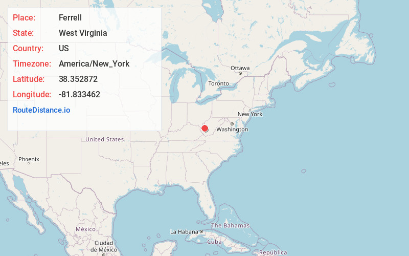
Full AddressFerrell, WV 25177
-
Coordinates38.3528718, -81.8334624
-
LocationWest Virginia , US
-
TimezoneAmerica/New_York
-
Current Local Time2:16:33 AM America/New_YorkTuesday, June 3, 2025
-
Page Views0
About Ferrell
Ferrell is an unincorporated area in Kanawha County, West Virginia, United States.
The community was part of the Upper Falls census-designated place from 2010 until 2020.
Residents receive mail using the city name Saint Albans at ZIP Code 25177.
Ferrell is in the Charleston, West Virginia metropolitan area.
Nearby Places
Found 10 places within 50 miles

Tornado
0.9 mi
1.4 km
Tornado, WV
Get directions

St Albans
2.0 mi
3.2 km
St Albans, WV 25177
Get directions

Institute
4.2 mi
6.8 km
Institute, WV 25064
Get directions

Nitro
4.3 mi
6.9 km
Nitro, WV
Get directions
Alum Creek
4.6 mi
7.4 km
Alum Creek, WV
Get directions

Cross Lanes
5.2 mi
8.4 km
Cross Lanes, WV
Get directions

Dunbar
5.2 mi
8.4 km
Dunbar, WV 25064
Get directions

South Charleston
7.3 mi
11.7 km
South Charleston, WV
Get directions

Poca
8.3 mi
13.4 km
Poca, WV
Get directions

Teays Valley
8.5 mi
13.7 km
Teays Valley, WV
Get directions
Location Links
Local Weather
Weather Information
Coming soon!
Location Map
Static map view of Ferrell, West Virginia
Browse Places by Distance
Places within specific distances from Ferrell
Short Distances
Long Distances
Click any distance to see all places within that range from Ferrell. Distances shown in miles (1 mile ≈ 1.61 kilometers).