Distance to Nitro, West Virginia

Calculating Your Route
Just a moment while we process your request...
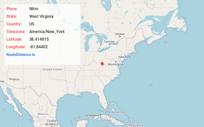
Location Information
-
Full AddressNitro, WV
-
Coordinates38.4148146, -81.8440197
-
LocationNitro , West Virginia , US
-
TimezoneAmerica/New_York
-
Current Local Time6:45:53 PM America/New_YorkFriday, June 20, 2025
-
Page Views0
About Nitro
Nitro is a city in Kanawha and Putnam counties in the U.S. state of West Virginia. It takes its name from a World War I era nitrocellulose plant. The population was 6,618 according to the 2020 census. It is part of the Charleston metropolitan area.


Nearby Places
Found 10 places within 50 miles

St Albans
2.8 mi
4.5 km
St Albans, WV 25177
Get directions

Cross Lanes
2.9 mi
4.7 km
Cross Lanes, WV
Get directions

Teays Valley
5.2 mi
8.4 km
Teays Valley, WV
Get directions

Dunbar
6.9 mi
11.1 km
Dunbar, WV 25064
Get directions

South Charleston
8.4 mi
13.5 km
South Charleston, WV
Get directions

Hurricane
9.6 mi
15.4 km
Hurricane, WV
Get directions

Charleston
12.3 mi
19.8 km
Charleston, WV
Get directions

Pea Ridge
25.8 mi
41.5 km
Pea Ridge, WV
Get directions

Huntington
32.5 mi
52.3 km
Huntington, WV
Get directions

Ashland
43.2 mi
69.5 km
Ashland, KY
Get directions
Location Links
Local Weather
Weather Information
Coming soon!
Location Map
Static map view of Nitro, West Virginia
Browse Places by Distance
Places within specific distances from Nitro
Short Distances
Long Distances
Click any distance to see all places within that range from Nitro. Distances shown in miles (1 mile ≈ 1.61 kilometers).