Distance to Hurricane, West Virginia

Calculating Your Route
Just a moment while we process your request...
Location Information
-
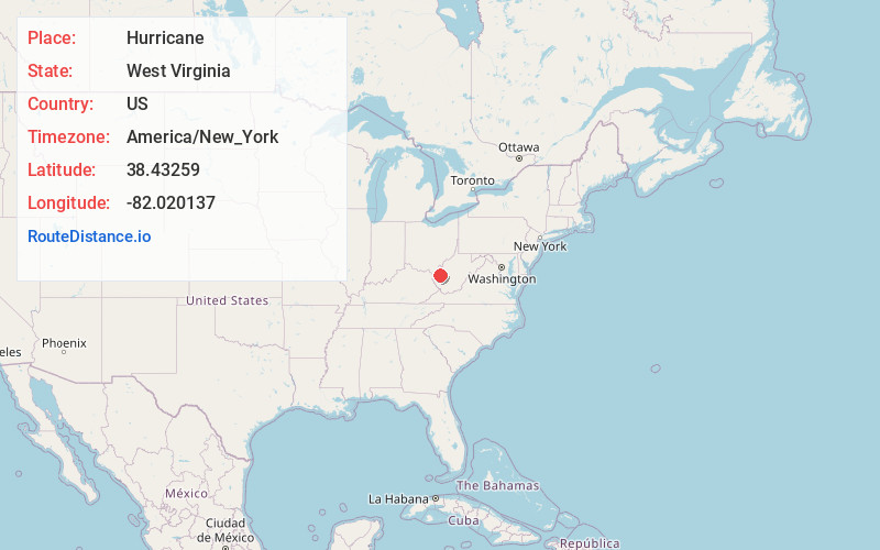
Full AddressHurricane, WV
-
Coordinates38.4325896, -82.0201368
-
LocationHurricane , West Virginia , US
-
TimezoneAmerica/New_York
-
Current Local Time11:34:20 AM America/New_YorkFriday, June 6, 2025
-
Website
-
Page Views0
About Hurricane
Hurricane is a city in Putnam County, West Virginia, United States. The population was 6,977 at the 2020 census. Located roughly equidistant from Charleston and Huntington, it is part of the Huntington–Ashland metropolitan area.


Nearby Places
Found 10 places within 50 miles

Teays Valley
5.1 mi
8.2 km
Teays Valley, WV
Get directions

St Albans
11.5 mi
18.5 km
St Albans, WV 25177
Get directions

Cross Lanes
12.4 mi
20.0 km
Cross Lanes, WV
Get directions

Dunbar
16.1 mi
25.9 km
Dunbar, WV 25064
Get directions

Pea Ridge
16.3 mi
26.2 km
Pea Ridge, WV
Get directions

South Charleston
17.9 mi
28.8 km
South Charleston, WV
Get directions

Charleston
21.8 mi
35.1 km
Charleston, WV
Get directions

Huntington
23.0 mi
37.0 km
Huntington, WV
Get directions

Ashland
33.6 mi
54.1 km
Ashland, KY
Get directions

Ironton
36.6 mi
58.9 km
Ironton, OH 45638
Get directions
Location Links
Local Weather
Weather Information
Coming soon!
Location Map
Static map view of Hurricane, West Virginia
Browse Places by Distance
Places within specific distances from Hurricane
Short Distances
Long Distances
Click any distance to see all places within that range from Hurricane. Distances shown in miles (1 mile ≈ 1.61 kilometers).