Distance to Garson, Arkansas

Calculating Your Route
Just a moment while we process your request...
Location Information
-
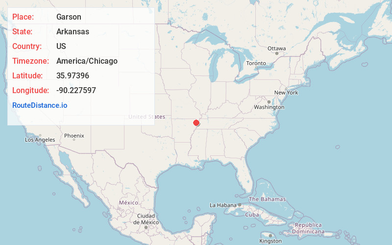
Full AddressGarson, AR 72438
-
Coordinates35.9739598, -90.2275973
-
LocationArkansas , US
-
TimezoneAmerica/Chicago
-
Current Local Time9:28:25 PM America/ChicagoSaturday, June 7, 2025
-
Page Views0
Nearby Places
Found 10 places within 50 miles

Pawheen
0.8 mi
1.3 km
Pawheen, AR 72438
Get directions
Boynton
1.3 mi
2.1 km
Boynton, AR 72438
Get directions
Paulding
2.8 mi
4.5 km
Paulding, Salem Township, MO 63821
Get directions

Leachville
3.1 mi
5.0 km
Leachville, AR
Get directions
Clearwater
3.9 mi
6.3 km
Clearwater, Leachville, AR 72438
Get directions
Buckeye
4.0 mi
6.4 km
Buckeye, AR 72438
Get directions
Delfore
5.3 mi
8.5 km
Delfore, AR 72438
Get directions

Arbyrd
5.4 mi
8.7 km
Arbyrd, MO 63821
Get directions

Cardwell
6.2 mi
10.0 km
Cardwell, MO 63829
Get directions
Childress
6.5 mi
10.5 km
Childress, AR 72447
Get directions
Location Links
Local Weather
Weather Information
Coming soon!
Location Map
Static map view of Garson, Arkansas
Browse Places by Distance
Places within specific distances from Garson
Short Distances
Long Distances
Click any distance to see all places within that range from Garson. Distances shown in miles (1 mile ≈ 1.61 kilometers).