Distance to Paulding, Missouri

Calculating Your Route
Just a moment while we process your request...
Location Information
-
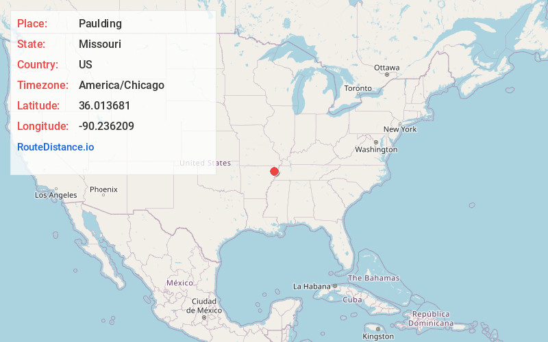
Full AddressPaulding, Salem Township, MO 63821
-
Coordinates36.013681, -90.2362089
-
LocationSalem Township , Missouri , US
-
TimezoneAmerica/Chicago
-
Current Local Time8:58:05 PM America/ChicagoSaturday, June 21, 2025
-
Page Views0
Nearby Places
Found 10 places within 50 miles

Boynton
2.3 mi
3.7 km
Boynton, AR 72438
Get directions

Arbyrd
2.6 mi
4.2 km
Arbyrd, MO 63821
Get directions
Pawheen
3.0 mi
4.8 km
Pawheen, AR 72438
Get directions

Cardwell
3.9 mi
6.3 km
Cardwell, MO 63829
Get directions
Buck Donic
5.3 mi
8.5 km
Buck Donic, Buffalo Township, MO 63829
Get directions
Bucoda
5.4 mi
8.7 km
Bucoda, Salem Township, MO 63821
Get directions

Leachville
5.5 mi
8.9 km
Leachville, AR
Get directions
Buckeye
5.7 mi
9.2 km
Buckeye, AR 72438
Get directions
Hargrove
5.9 mi
9.5 km
Hargrove, Buffalo Township, MO 63829
Get directions
Red Onion
6.1 mi
9.8 km
Red Onion, Buffalo Township, MO 63829
Get directions
Location Links
Local Weather
Weather Information
Coming soon!
Location Map
Static map view of Paulding, Missouri
Browse Places by Distance
Places within specific distances from Paulding
Short Distances
Long Distances
Click any distance to see all places within that range from Paulding. Distances shown in miles (1 mile ≈ 1.61 kilometers).