Distance to Geigertown, Pennsylvania

Calculating Your Route
Just a moment while we process your request...
Location Information
-
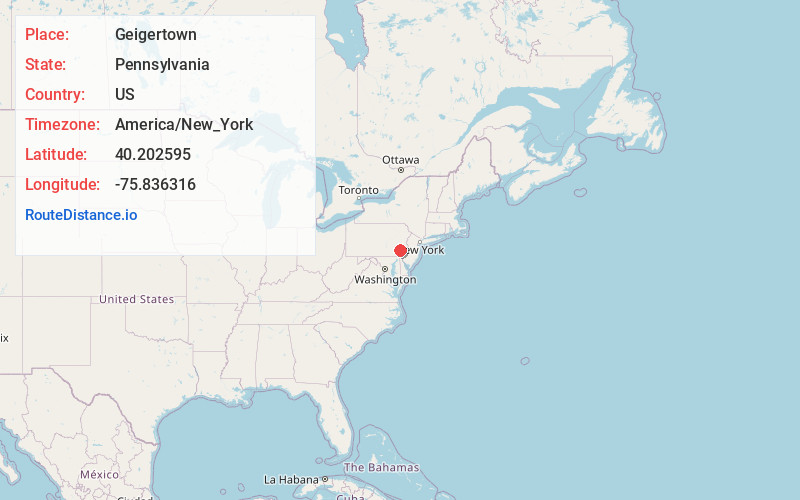
Full AddressGeigertown, PA 19508
-
Coordinates40.202595, -75.8363155
-
LocationGeigertown , Pennsylvania , US
-
TimezoneAmerica/New_York
-
Current Local Time6:42:07 PM America/New_YorkFriday, June 20, 2025
-
Page Views0
About Geigertown
Geigertown is an unincorporated community in Berks County, Pennsylvania.
Geigertown is located within both Union Township and Robeson Township along Hay Creek Road from Geigertown Road to Fire Tower Road. It is also home to the Geigertown Central Railroad Museum off Geigertown Road.
Nearby Places
Found 10 places within 50 miles

Cold Run
0.4 mi
0.6 km
Cold Run, Robeson Township, PA 19520
Get directions
Joanna Heights
1.5 mi
2.4 km
Joanna Heights, Robeson Township, PA 19520
Get directions
Scarlets Mill
1.8 mi
2.9 km
Scarlets Mill, Robeson Township, PA 19508
Get directions
Joanna
2.4 mi
3.9 km
Joanna, PA 19520
Get directions
Robeson Township
2.9 mi
4.7 km
Robeson Township, PA
Get directions

Joanna Furnace Complex
2.9 mi
4.7 km
Joanna Furnace Complex, Morgantown, PA 19543
Get directions
Trap Rock
3.1 mi
5.0 km
Trap Rock, Robeson Township, PA 19508
Get directions

Elverson
3.2 mi
5.1 km
Elverson, PA 19520
Get directions
New Morgan
3.2 mi
5.1 km
New Morgan, PA 19543
Get directions
Kulptown
3.6 mi
5.8 km
Kulptown, PA 19518
Get directions
Location Links
Local Weather
Weather Information
Coming soon!
Location Map
Static map view of Geigertown, Pennsylvania
Browse Places by Distance
Places within specific distances from Geigertown
Short Distances
Long Distances
Click any distance to see all places within that range from Geigertown. Distances shown in miles (1 mile ≈ 1.61 kilometers).