Distance to Genoa Township, Michigan

Calculating Your Route
Just a moment while we process your request...
Location Information
-
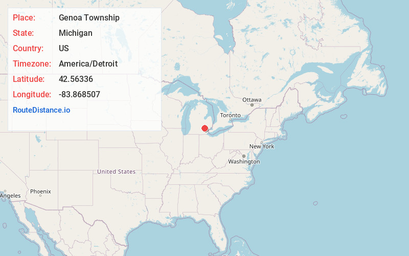
Full AddressGenoa Township, MI
-
Coordinates42.5633597, -83.8685072
-
LocationGenoa Township , Michigan , US
-
TimezoneAmerica/Detroit
-
Current Local Time7:22:19 PM America/DetroitFriday, June 20, 2025
-
Page Views0
About Genoa Township
Genoa Charter Township is a charter township of Livingston County in the U.S. state of Michigan. As of the 2020 census, the township population was 20,692.
Genoa Township was organized in 1837.

Nearby Places
Found 10 places within 50 miles

Chilson
2.5 mi
4.0 km
Chilson, Genoa Township, MI 48116
Get directions

Livingston County
4.1 mi
6.6 km
Livingston County, MI
Get directions

Howell
4.3 mi
6.9 km
Howell, MI
Get directions
Parishfield
5.0 mi
8.0 km
Parishfield, Hamburg Township, MI 48116
Get directions

Brighton
5.1 mi
8.2 km
Brighton, MI 48116
Get directions
Pettysville
6.1 mi
9.8 km
Pettysville, Hamburg Township, MI 48169
Get directions

Brighton Township
6.5 mi
10.5 km
Brighton Township, MI
Get directions

Lakeland
7.0 mi
11.3 km
Lakeland, MI 48169
Get directions

Hartland Township
7.6 mi
12.2 km
Hartland Township, MI
Get directions

Pinckney
8.4 mi
13.5 km
Pinckney, MI 48169
Get directions
Location Links
Local Weather
Weather Information
Coming soon!
Location Map
Static map view of Genoa Township, Michigan
Browse Places by Distance
Places within specific distances from Genoa Township
Short Distances
Long Distances
Click any distance to see all places within that range from Genoa Township. Distances shown in miles (1 mile ≈ 1.61 kilometers).