Distance to Geronimo, Arizona

Calculating Your Route
Just a moment while we process your request...
Location Information
-
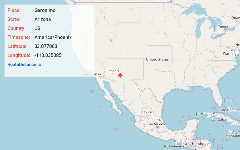
Full AddressGeronimo, AZ 85536
-
Coordinates33.0770031, -110.0350848
-
LocationArizona , US
-
TimezoneAmerica/Phoenix
-
Current Local Time5:49:18 PM America/PhoenixThursday, June 19, 2025
-
Page Views0
About Geronimo
Geronimo is a populated place located on Highway 70 between Bylas and Fort Thomas, west of Safford in Graham County, Arizona, United States. Geronimo lies at an elevation of 2,723 feet.
Nearby Places
Found 10 places within 50 miles

Emery
1.2 mi
1.9 km
Emery, AZ 85536
Get directions

Fort Thomas
4.9 mi
7.9 km
Fort Thomas, AZ
Get directions

Bylas
6.7 mi
10.8 km
Bylas, AZ 85530
Get directions
Cork
10.7 mi
17.2 km
Cork, AZ 85543
Get directions
Calva
11.3 mi
18.2 km
Calva, AZ 85530
Get directions
Glenbar
15.1 mi
24.3 km
Glenbar, AZ 85543
Get directions

Graham County
16.0 mi
25.7 km
Graham County, AZ
Get directions

Bryce
16.1 mi
25.9 km
Bryce, AZ 85543
Get directions
Little Spring
16.1 mi
25.9 km
Little Spring, Arizona 85543
Get directions
Dublin
17.1 mi
27.5 km
Dublin, Pima, AZ 85543
Get directions
Location Links
Local Weather
Weather Information
Coming soon!
Location Map
Static map view of Geronimo, Arizona
Browse Places by Distance
Places within specific distances from Geronimo
Short Distances
Long Distances
Click any distance to see all places within that range from Geronimo. Distances shown in miles (1 mile ≈ 1.61 kilometers).