Distance to Gheen, Minnesota

Calculating Your Route
Just a moment while we process your request...
Location Information
-
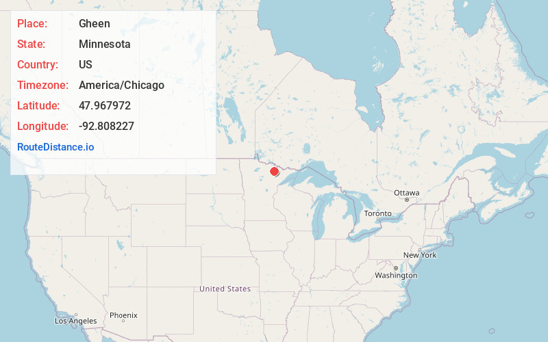
Full AddressGheen, MN 55771
-
Coordinates47.9679724, -92.8082268
-
LocationGheen , Minnesota , US
-
TimezoneAmerica/Chicago
-
Current Local Time8:40:45 PM America/ChicagoFriday, June 6, 2025
-
Page Views0
About Gheen
Gheen is an unorganized territory in Saint Louis County, Minnesota, United States. The population was 25 at the 2000 census.
Gheen Territory is in the Kabetogama State Forest. The unincorporated community of Gheen is in Gheen Territory.


Nearby Places
Found 10 places within 50 miles

Glendale
4.6 mi
7.4 km
Glendale, MN 55771
Get directions
Haley
4.8 mi
7.7 km
Haley, MN 55723
Get directions

Orr
6.0 mi
9.7 km
Orr, MN 55771
Get directions
Linden Grove
7.8 mi
12.6 km
Linden Grove, MN 55723
Get directions
Wakemup
8.1 mi
13.0 km
Wakemup, MN 55723
Get directions

Cusson
9.4 mi
15.1 km
Cusson, MN 55771
Get directions

Cook
9.7 mi
15.6 km
Cook, MN 55723
Get directions
Greaney
9.9 mi
15.9 km
Greaney, MN 55771
Get directions
Meadow Brook
10.0 mi
16.1 km
Meadow Brook, MN 55723
Get directions
Leander
13.5 mi
21.7 km
Leander, MN 55723
Get directions
Location Links
Local Weather
Weather Information
Coming soon!
Location Map
Static map view of Gheen, Minnesota
Browse Places by Distance
Places within specific distances from Gheen
Short Distances
Long Distances
Click any distance to see all places within that range from Gheen. Distances shown in miles (1 mile ≈ 1.61 kilometers).