Distance to Glendale, Minnesota

Calculating Your Route
Just a moment while we process your request...
Location Information
-
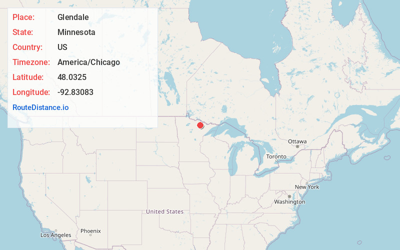
Full AddressGlendale, MN 55771
-
Coordinates48.0325, -92.83083
-
LocationGlendale , Minnesota , US
-
TimezoneAmerica/Chicago
-
Current Local Time12:43:53 PM America/ChicagoFriday, June 13, 2025
-
Page Views0
About Glendale
Glendale is an unincorporated community in Leiding Township, Saint Louis County, Minnesota, United States.
The community is located immediately south of Orr at the junction of U.S. Highway 53 and Saint Louis County Road 23.
Glendale is located within the Kabetogama State Forest.
Nearby Places
Found 10 places within 50 miles

Orr
1.5 mi
2.4 km
Orr, MN 55771
Get directions

Cusson
4.8 mi
7.7 km
Cusson, MN 55771
Get directions

Haley
8.9 mi
14.3 km
Haley, MN 55723
Get directions
Greaney
10.0 mi
16.1 km
Greaney, MN 55771
Get directions
Wakemup
11.4 mi
18.3 km
Wakemup, MN 55723
Get directions
Linden Grove
11.9 mi
19.2 km
Linden Grove, MN 55723
Get directions
Meadow Brook
13.1 mi
21.1 km
Meadow Brook, MN 55723
Get directions

Nett Lake
13.3 mi
21.4 km
Nett Lake, MN
Get directions

Ash Lake
13.5 mi
21.7 km
Ash Lake, MN 55771
Get directions

Cook
14.1 mi
22.7 km
Cook, MN 55723
Get directions
Location Links
Local Weather
Weather Information
Coming soon!
Location Map
Static map view of Glendale, Minnesota
Browse Places by Distance
Places within specific distances from Glendale
Short Distances
Long Distances
Click any distance to see all places within that range from Glendale. Distances shown in miles (1 mile ≈ 1.61 kilometers).