Distance to Giddings, Texas

Calculating Your Route
Just a moment while we process your request...
Location Information
-
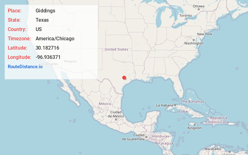
Full AddressGiddings, TX 78942
-
Coordinates30.1827159, -96.936371
-
LocationGiddings , Texas , US
-
TimezoneAmerica/Chicago
-
Current Local Time10:04:29 AM America/ChicagoThursday, June 19, 2025
-
Website
-
Page Views0
About Giddings
Giddings is the county seat of Lee County, Texas, United States situated on the intersection of U.S. Highway 77 and U.S. Route 290. Its population was 5,129 at the 2010 census.


Nearby Places
Found 10 places within 50 miles

Camp Swift
21.3 mi
34.3 km
Camp Swift, TX 78602
Get directions

Bastrop
23.2 mi
37.3 km
Bastrop, TX 78602
Get directions

Elgin
28.3 mi
45.5 km
Elgin, TX 78621
Get directions

Brenham
32.2 mi
51.8 km
Brenham, TX 77833
Get directions

Rockdale
32.9 mi
52.9 km
Rockdale, TX 76567
Get directions

Manor
38.7 mi
62.3 km
Manor, TX
Get directions

Taylor
38.9 mi
62.6 km
Taylor, TX
Get directions

Hutto
44.1 mi
71.0 km
Hutto, TX 78634
Get directions

Pflugerville
45.0 mi
72.4 km
Pflugerville, TX
Get directions

Cameron
46.4 mi
74.7 km
Cameron, TX 76520
Get directions
Location Links
Local Weather
Weather Information
Coming soon!
Location Map
Static map view of Giddings, Texas
Browse Places by Distance
Places within specific distances from Giddings
Short Distances
Long Distances
Click any distance to see all places within that range from Giddings. Distances shown in miles (1 mile ≈ 1.61 kilometers).