Distance to Taylor, Texas

Calculating Your Route
Just a moment while we process your request...
Location Information
-
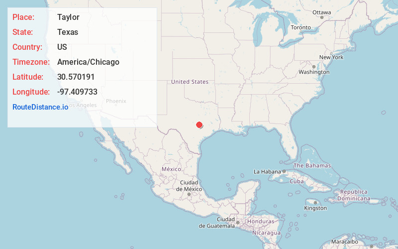
Full AddressTaylor, TX
-
Coordinates30.5701906, -97.4097331
-
LocationTaylor , Texas , US
-
TimezoneAmerica/Chicago
-
Current Local Time5:39:11 PM America/ChicagoFriday, June 20, 2025
-
Page Views0
About Taylor
Taylor is a city in Williamson County, Texas, United States. The population at the 2020 Census was 16,267, up from 15,191 as of 2010.


Nearby Places
Found 10 places within 50 miles

Hutto
8.4 mi
13.5 km
Hutto, TX 78634
Get directions

Pflugerville
15.0 mi
24.1 km
Pflugerville, TX
Get directions

Georgetown
16.5 mi
26.6 km
Georgetown, TX
Get directions

Round Rock
16.6 mi
26.7 km
Round Rock, TX
Get directions

Brushy Creek
20.0 mi
32.2 km
Brushy Creek, TX
Get directions

Cedar Park
24.8 mi
39.9 km
Cedar Park, TX
Get directions

Leander
26.4 mi
42.5 km
Leander, TX
Get directions

Austin
28.9 mi
46.5 km
Austin, TX
Get directions

Belton
33.7 mi
54.2 km
Belton, TX
Get directions

Temple
36.7 mi
59.1 km
Temple, TX
Get directions
Location Links
Local Weather
Weather Information
Coming soon!
Location Map
Static map view of Taylor, Texas
Browse Places by Distance
Places within specific distances from Taylor
Short Distances
Long Distances
Click any distance to see all places within that range from Taylor. Distances shown in miles (1 mile ≈ 1.61 kilometers).