Distance to Gifford, Washington

Calculating Your Route
Just a moment while we process your request...
Location Information
-
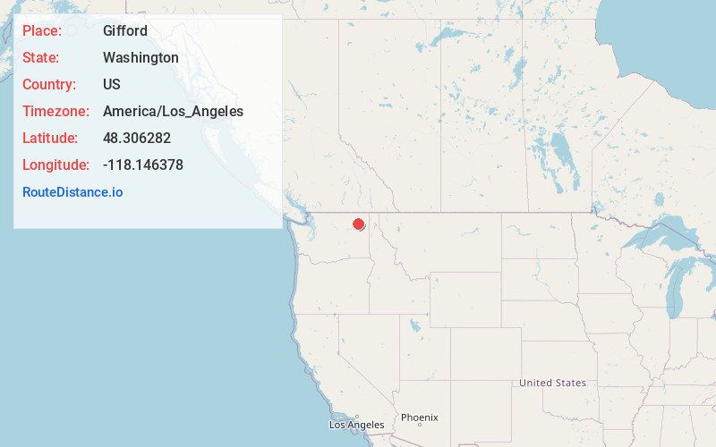
Full AddressGifford, WA 99131
-
Coordinates48.306282, -118.1463778
-
LocationGifford , Washington , US
-
TimezoneAmerica/Los_Angeles
-
Current Local Time6:00:00 AM America/Los_AngelesSunday, June 22, 2025
-
Page Views0
About Gifford
Gifford is an unincorporated community in Stevens County, Washington, United States. Gifford is located across the Columbia River from Inchelium. The community is served by Washington State Route 25 and the Gifford–Inchelium ferry. Gifford has a post office with ZIP code 99131.
Nearby Places
Found 10 places within 50 miles

Inchelium
2.4 mi
3.9 km
Inchelium, WA 99138
Get directions

Addy
14.6 mi
23.5 km
Addy, WA 99101
Get directions

Fruitland
16.4 mi
26.4 km
Fruitland, WA 99129
Get directions

Chewelah
19.9 mi
32.0 km
Chewelah, WA 99109
Get directions

Colville
20.0 mi
32.2 km
Colville, WA 99114
Get directions
Cozy Nook
20.3 mi
32.7 km
Cozy Nook, WA 99109
Get directions

Valley
21.4 mi
34.4 km
Valley, WA 99181
Get directions

Kettle Falls
21.4 mi
34.4 km
Kettle Falls, WA 99141
Get directions

Marcus
24.9 mi
40.1 km
Marcus, WA
Get directions

Springdale
25.4 mi
40.9 km
Springdale, WA
Get directions
Location Links
Local Weather
Weather Information
Coming soon!
Location Map
Static map view of Gifford, Washington
Browse Places by Distance
Places within specific distances from Gifford
Short Distances
Long Distances
Click any distance to see all places within that range from Gifford. Distances shown in miles (1 mile ≈ 1.61 kilometers).