Distance to Gilead Township, Ohio

Calculating Your Route
Just a moment while we process your request...
Location Information
-
Full AddressGilead Township, OH
-
Coordinates40.5443206, -82.8317486
-
LocationGilead Township , Ohio , US
-
TimezoneAmerica/New_York
-
Current Local Time9:42:16 AM America/New_YorkFriday, May 30, 2025
-
Page Views0
About Gilead Township
Gilead Township is one of the sixteen townships of Morrow County, Ohio, United States. The 2020 census found 5,942 people lived in the township; 3,503 lived in the village of Mount Gilead and 422 lived in the village of Edison.


Nearby Places
Found 10 places within 50 miles

Mt Gilead
0.4 mi
0.6 km
Mt Gilead, OH 43338
Get directions

Edison
1.9 mi
3.1 km
Edison, OH 43320
Get directions

Cardington
4.4 mi
7.1 km
Cardington, OH 43315
Get directions

Fulton
5.7 mi
9.2 km
Fulton, OH
Get directions
Pulaskiville
6.4 mi
10.3 km
Pulaskiville, Franklin Township, OH 43338
Get directions
Climax
6.7 mi
10.8 km
Climax, Canaan Township, OH 43320
Get directions
St James
8.1 mi
13.0 km
St James, Washington Township, OH 44833
Get directions

South Woodbury
8.7 mi
14.0 km
South Woodbury, OH 43334
Get directions

Iberia
8.7 mi
14.0 km
Iberia, OH
Get directions

Chesterville
9.0 mi
14.5 km
Chesterville, OH
Get directions
Location Links
Local Weather
Weather Information
Coming soon!
Location Map
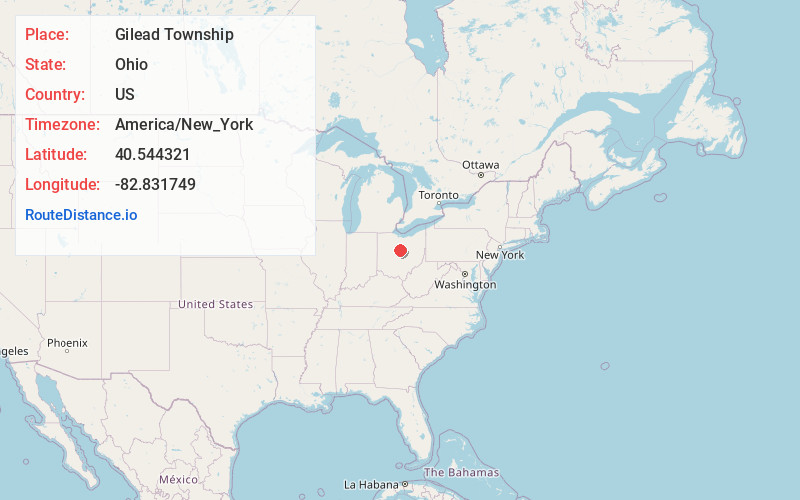
Static map view of Gilead Township, Ohio
Browse Places by Distance
Places within specific distances from Gilead Township
Short Distances
Long Distances
Click any distance to see all places within that range from Gilead Township. Distances shown in miles (1 mile ≈ 1.61 kilometers).