Distance to Mt Gilead, Ohio

Calculating Your Route
Just a moment while we process your request...
Location Information
-
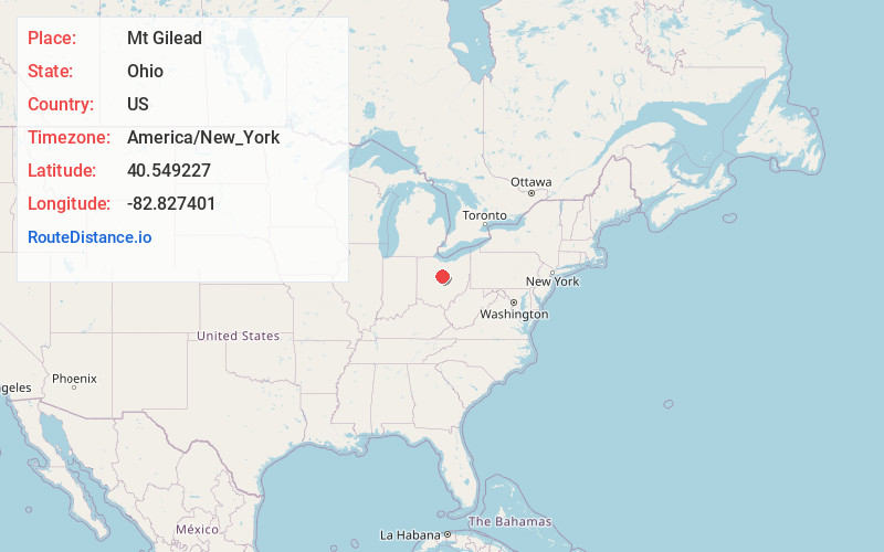
Full AddressMt Gilead, OH 43338
-
Coordinates40.5492265, -82.8274014
-
LocationMt Gilead , Ohio , US
-
TimezoneAmerica/New_York
-
Current Local Time5:09:22 PM America/New_YorkSunday, June 29, 2025
-
Website
-
Page Views0
About Mt Gilead
Mount Gilead is a village and the county seat of Morrow County, Ohio, United States. It is located 41 miles northeast of Columbus. The population was 3,503 at the 2020 census. It is the center of population of Ohio. The village was established in 1832, eight years after white settlers arrived in the region.


Nearby Places
Found 10 places within 50 miles

Galion
12.9 mi
20.8 km
Galion, OH 44833
Get directions

Lexington
15.7 mi
25.3 km
Lexington, OH 44904
Get directions

Marion
16.0 mi
25.7 km
Marion, OH 43302
Get directions

Crestline
17.1 mi
27.5 km
Crestline, OH
Get directions

Ontario
19.1 mi
30.7 km
Ontario, OH
Get directions

Bucyrus
19.5 mi
31.4 km
Bucyrus, OH 44820
Get directions

Mt Vernon
21.0 mi
33.8 km
Mt Vernon, OH 43050
Get directions

Sunbury
21.3 mi
34.3 km
Sunbury, OH
Get directions

Delaware
21.4 mi
34.4 km
Delaware, OH 43015
Get directions

Mansfield
21.9 mi
35.2 km
Mansfield, OH
Get directions
Location Links
Local Weather
Weather Information
Coming soon!
Location Map
Static map view of Mt Gilead, Ohio
Browse Places by Distance
Places within specific distances from Mt Gilead
Short Distances
Long Distances
Click any distance to see all places within that range from Mt Gilead. Distances shown in miles (1 mile ≈ 1.61 kilometers).