Distance to Gilmore, Arkansas

Calculating Your Route
Just a moment while we process your request...
Location Information
-
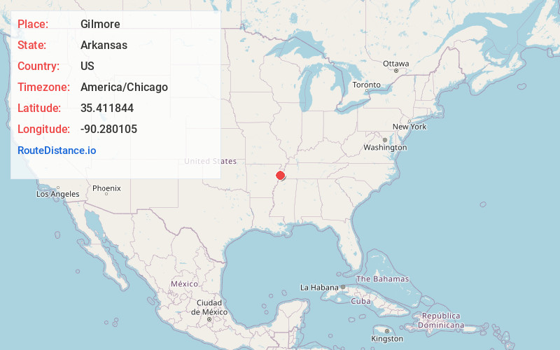
Full AddressGilmore, AR
-
Coordinates35.411844, -90.2801045
-
LocationGilmore , Arkansas , US
-
TimezoneAmerica/Chicago
-
Current Local Time3:34:26 AM America/ChicagoSunday, June 22, 2025
-
Page Views0
About Gilmore
Gilmore is a city in Crittenden County, Arkansas, United States. Per the 2020 census, the population was 176.

Nearby Places
Found 10 places within 50 miles

Turrell
2.8 mi
4.5 km
Turrell, AR 72384
Get directions

Tyronza
6.9 mi
11.1 km
Tyronza, AR 72386
Get directions

Clarkedale
7.5 mi
12.1 km
Clarkedale, AR
Get directions

Joiner
9.9 mi
15.9 km
Joiner, AR 72350
Get directions

Marked Tree
11.6 mi
18.7 km
Marked Tree, AR
Get directions

Dyess
12.9 mi
20.8 km
Dyess, AR 72330
Get directions

Crawfordsville
13.0 mi
20.9 km
Crawfordsville, AR 72327
Get directions

Lepanto
14.2 mi
22.9 km
Lepanto, AR
Get directions

Earle
14.3 mi
23.0 km
Earle, AR 72331
Get directions

Marion
14.4 mi
23.2 km
Marion, AR
Get directions
Location Links
Local Weather
Weather Information
Coming soon!
Location Map
Static map view of Gilmore, Arkansas
Browse Places by Distance
Places within specific distances from Gilmore
Short Distances
Long Distances
Click any distance to see all places within that range from Gilmore. Distances shown in miles (1 mile ≈ 1.61 kilometers).