Distance to Gilmore, Missouri

Calculating Your Route
Just a moment while we process your request...
Location Information
-
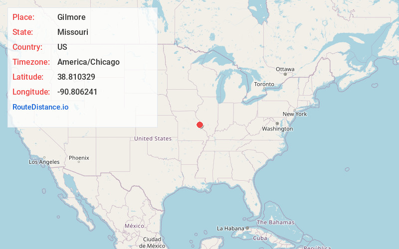
Full AddressGilmore, MO 63385
-
Coordinates38.8103294, -90.8062414
-
LocationGilmore , Missouri , US
-
TimezoneAmerica/Chicago
-
Current Local Time12:43:29 AM America/ChicagoWednesday, May 21, 2025
-
Page Views0
About Gilmore
Gilmore is an unincorporated community in St. Charles County, in the U.S. state of Missouri.
Nearby Places
Found 10 places within 50 miles

Lake St Louis
2.2 mi
3.5 km
Lake St Louis, MO
Get directions

Josephville
2.3 mi
3.7 km
Josephville, MO
Get directions

Wentzville
2.5 mi
4.0 km
Wentzville, MO
Get directions
Flint Hill
4.3 mi
6.9 km
Flint Hill, MO
Get directions
St Paul
5.0 mi
8.0 km
St Paul, MO 63366
Get directions

Dardenne Prairie
5.0 mi
8.0 km
Dardenne Prairie, MO
Get directions

O'Fallon
5.7 mi
9.2 km
O'Fallon, MO
Get directions

Chain of Rocks
7.2 mi
11.6 km
Chain of Rocks, MO 63369
Get directions
New Melle
8.0 mi
12.9 km
New Melle, MO
Get directions

Foristell
8.1 mi
13.0 km
Foristell, MO
Get directions
Location Links
Local Weather
Weather Information
Coming soon!
Location Map
Static map view of Gilmore, Missouri
Browse Places by Distance
Places within specific distances from Gilmore
Short Distances
Long Distances
Click any distance to see all places within that range from Gilmore. Distances shown in miles (1 mile ≈ 1.61 kilometers).