Distance to Gilmore Mills, Virginia

Calculating Your Route
Just a moment while we process your request...
Location Information
-
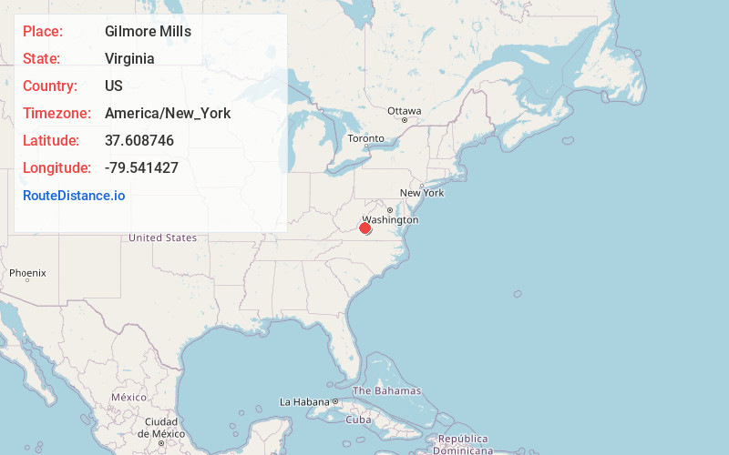
Full AddressGilmore Mills, VA 24579
-
Coordinates37.6087456, -79.5414268
-
LocationVirginia , US
-
TimezoneAmerica/New_York
-
Current Local Time11:33:05 AM America/New_YorkThursday, June 19, 2025
-
Page Views0
About Gilmore Mills
Gilmore Mills is an unincorporated community in Rockbridge County, Virginia, United States. Gilmore Mills is located on the James River 5.3 miles west-southwest of Glasgow.
Annandale and the Varney's Falls Dam were listed on the National Register of Historic Places in 1993.
Nearby Places
Found 10 places within 50 miles

Natural Bridge
1.5 mi
2.4 km
Natural Bridge, VA 24578
Get directions

Red Mills
2.4 mi
3.9 km
Red Mills, VA 24578
Get directions
Rocky Point
4.3 mi
6.9 km
Rocky Point, VA 24066
Get directions
Solitude
4.7 mi
7.6 km
Solitude, VA 24066
Get directions
Fancy Hill
5.3 mi
8.5 km
Fancy Hill, VA 24578
Get directions

Glasgow
5.3 mi
8.5 km
Glasgow, VA 24555
Get directions

Snowden
8.0 mi
12.9 km
Snowden, VA 24526
Get directions
Powells Store
8.9 mi
14.3 km
Powells Store, VA 24526
Get directions
Oakdale
9.3 mi
15.0 km
Oakdale, VA 24450
Get directions

Buchanan
9.4 mi
15.1 km
Buchanan, VA 24066
Get directions
Location Links
Local Weather
Weather Information
Coming soon!
Location Map
Static map view of Gilmore Mills, Virginia
Browse Places by Distance
Places within specific distances from Gilmore Mills
Short Distances
Long Distances
Click any distance to see all places within that range from Gilmore Mills. Distances shown in miles (1 mile ≈ 1.61 kilometers).