Distance to Ginger Hill, Pennsylvania

Calculating Your Route
Just a moment while we process your request...
Location Information
-
Full AddressGinger Hill, Fallowfield Township, PA 15063
-
Coordinates40.194793, -79.9981071
-
LocationFallowfield Township , Pennsylvania , US
-
TimezoneAmerica/New_York
-
Current Local Time5:50:14 PM America/New_YorkWednesday, June 18, 2025
-
Page Views0
About Ginger Hill
Ginger Hill, Pennsylvania is an unincorporated community in Washington County, Pennsylvania, United States. It is home to the Ebenezer Covered Bridge.
Nearby Places
Found 10 places within 50 miles

Baidland
1.4 mi
2.3 km
Baidland, PA 15063
Get directions
Sudan
2.7 mi
4.3 km
Sudan, Van Voorhis, PA 15063
Get directions

New Eagle
2.8 mi
4.5 km
New Eagle, PA 15067
Get directions
Van Voorhis
3.0 mi
4.8 km
Van Voorhis, PA
Get directions

Monongahela
3.8 mi
6.1 km
Monongahela, PA 15063
Get directions
Hackett
3.9 mi
6.3 km
Hackett, Peters Township, PA 15367
Get directions

Finleyville
4.0 mi
6.4 km
Finleyville, PA 15332
Get directions
Ghennes Heights
4.2 mi
6.8 km
Ghennes Heights, Fallowfield Township, PA 15063
Get directions
Gibson
4.2 mi
6.8 km
Gibson, Bentleyville, PA 15314
Get directions

Gastonville
4.3 mi
6.9 km
Gastonville, PA 15332
Get directions
Location Links
Local Weather
Weather Information
Coming soon!
Location Map
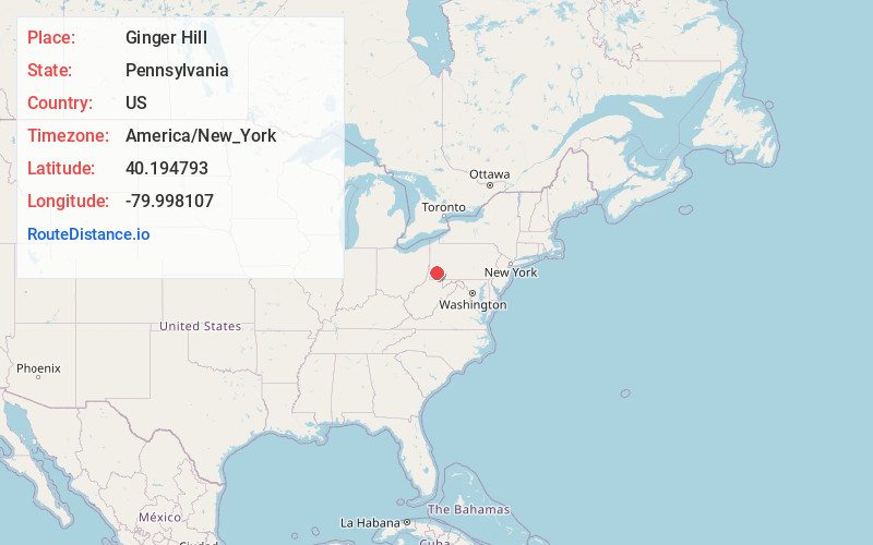
Static map view of Ginger Hill, Pennsylvania
Browse Places by Distance
Places within specific distances from Ginger Hill
Short Distances
Long Distances
Click any distance to see all places within that range from Ginger Hill. Distances shown in miles (1 mile ≈ 1.61 kilometers).