Distance to Gladstone, New Mexico

Calculating Your Route
Just a moment while we process your request...
Location Information
-
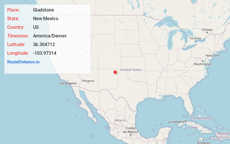
Full AddressGladstone, NM 88422
-
Coordinates36.3047121, -103.9731403
-
LocationGladstone , New Mexico , US
-
TimezoneAmerica/Denver
-
Current Local Time2:01:21 AM America/DenverWednesday, June 18, 2025
-
Page Views0
About Gladstone
Gladstone is an unincorporated layover in Union County, New Mexico, United States, founded in 1880. It lies at the intersection of US Route 56 and Union County Road C001. The post office, which opened in 1888, closed in 2010, leaving only a general store with gas service, and two houses, located there.

Nearby Places
Found 10 places within 50 miles

Pennington
18.9 mi
30.4 km
Pennington, NM 88424
Get directions
Beenham
19.9 mi
32.0 km
Beenham, NM 88424
Get directions

Roy
27.9 mi
44.9 km
Roy, NM 87743
Get directions

Grenville
28.1 mi
45.2 km
Grenville, NM 88424
Get directions

Capulin
30.2 mi
48.6 km
Capulin, NM 88414
Get directions
Mt Dora
30.7 mi
49.4 km
Mt Dora, NM 88415
Get directions

Des Moines
32.5 mi
52.3 km
Des Moines, NM 88418
Get directions

Springer
34.8 mi
56.0 km
Springer, NM 87747
Get directions

Maxwell
35.6 mi
57.3 km
Maxwell, NM 87728
Get directions

Mosquero
36.5 mi
58.7 km
Mosquero, NM 87733
Get directions
Location Links
Local Weather
Weather Information
Coming soon!
Location Map
Static map view of Gladstone, New Mexico
Browse Places by Distance
Places within specific distances from Gladstone
Short Distances
Long Distances
Click any distance to see all places within that range from Gladstone. Distances shown in miles (1 mile ≈ 1.61 kilometers).